Large airport · Argentina
Aeroparque Jorge NewberySABE
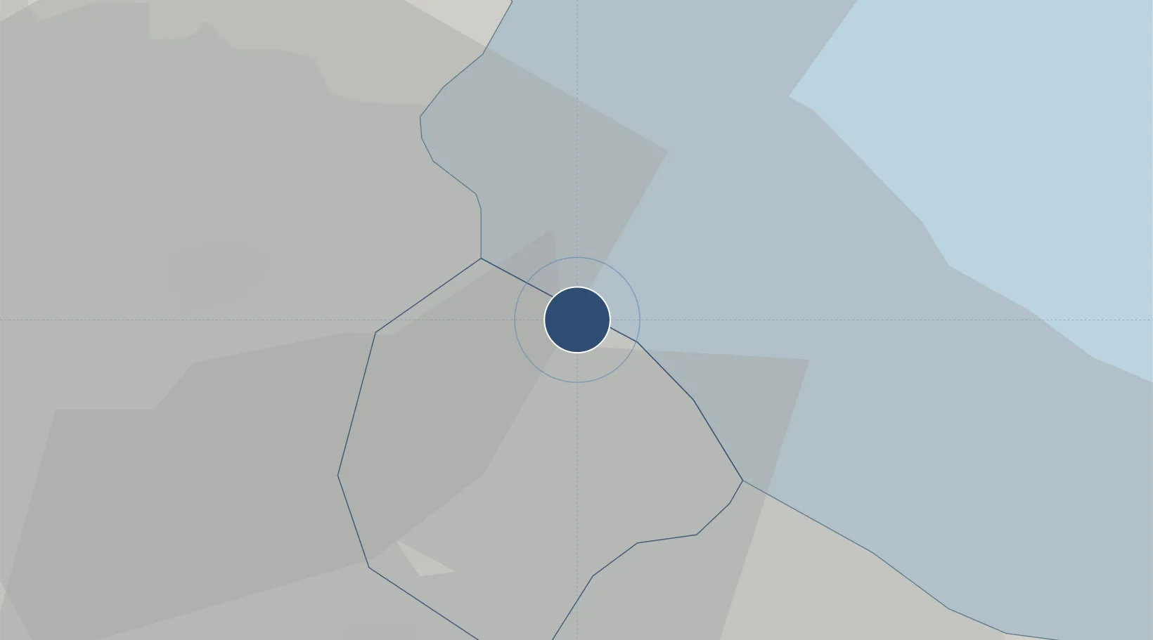
-34.5594°, -58.4155°
7,710 ft
Longest runway
1
Runways
18 ft
Elevation
Runway & Layout

Radio Frequencies
ATIS
127.6 MHz
TWR
118.85 MHz
GND
121.9 MHz
CLD
129.3 MHz
CLNC DEL
APP
120.6 MHz
Navaids
OP NDB Aeroparque Jorge Newbery 260 kHz
Runways · 1
| Runway | Dimensions | Surface | True heading | Lit |
|---|---|---|---|---|
| 13/31 | 7,710 × 148ft | Asphalt / concrete | 124° | ✓ |
Airport Specifications
IATA code
AEP
ICAO code
SABE
Airport class
Large airport
Scheduled service
Yes
Runway surface
Asphalt / concrete
Served city
Buenos Aires
Location
Nearby Logistics Neighbours
Airports
- 1El Palomar Airport19 km
- 2San Fernando Airport20 km
- 3Ezeiza International Airport - Ministro Pistarini31 km
- 4La Plata Airport66 km
- 5Gualeguaychu Airport174 km
Cities
- 1Buenos Aires7 km
- 2Vicente López8 km
- 3Pablo Podestá10 km
- 4Caseros13 km
- 5Dock Sur13 km
Ports
- 1Buenos Aires6 km
- 2Colonia53 km
- 3La Plata57 km
- 4Campana68 km
- 5Nueva Palmira75 km
Trade Zones
- 1Zona Sur Buenos Aires12 km
- 2Montes de Plata Free Zone50 km
- 3Colonia Free Zone54 km
- 4La Plata Free Trade Zone57 km
- 5Nueva Palmira Free Zone75 km
DatabookThe Record of Consolidated Knowledge
Argentina beyond logistics?