UN/LOCODE hub · Argentina
ARCMP

Campana

-34.1684°, -58.9997°
86,860
Population
1
Transport functions

Transport Functions

Port
Campana is also a profiled seaport →
UN/LOCODE

Hub Profile

Place type
Provincial seat
GeoNames
Region
Buenos Aires
GeoNames
Population
86,860
GeoNames
Time zone
America/Argentina/Buenos_Aires
GeoNames
Elevation
19 m
GeoNames
Logistics facilities
1
UN/LOCODE

Location

Location of ARCMP
Natural Earth 10m (public domain) · Buenos Aires · ARCMP · -34.17, -59.00GoogleOSMYandex

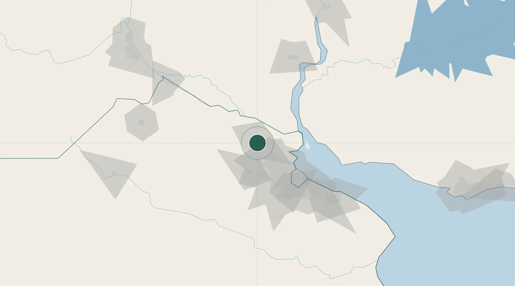
Nearby Logistics Neighbours

Cities
  1. 1Zárate11 km
  2. 2Capilla del Señor17 km
  3. 3Las Palmas20 km
  4. 4Belén de Escobar25 km
  5. 5Pilar31 km
Nearest neighbours — logibook spatial index (haversine) over the source coordinates
Ports
  1. 1Zarate10 km
  2. 2Puerto Ibicuy50 km
  3. 3Nueva Palmira62 km
  4. 4Buenos Aires75 km
  5. 5San Pedro100 km
Nearest neighbours — logibook spatial index (haversine) over the source coordinates
Airports
  1. 1San Fernando Airport49 km
  2. 2El Palomar Airport61 km
  3. 3Aeroparque Jorge Newbery69 km
  4. 4Ezeiza International Airport - Ministro Pistarini84 km
  5. 5Gualeguaychu Airport134 km
Nearest neighbours — logibook spatial index (haversine) over the source coordinates
Trade Zones
  1. 1Nueva Palmira Free Zone62 km
  2. 2Zona Sur Buenos Aires70 km
  3. 3Montes de Plata Free Zone87 km
  4. 4Colonia Free Zone112 km
  5. 5La Plata Free Trade Zone126 km
Nearest neighbours — logibook spatial index (haversine) over the source coordinates
DatabookThe Record of Consolidated Knowledge
Argentina beyond logistics?
Browse databook

All Sources

LocationsUN/LOCODE
UN/LOCODE — free
LocationsGeoNames
CC BY 4.0
Portsthe NGA World Port Index
Public domain (US gov)
AirportsOurAirports
Public domain
Trade Zonesthe World Bank SEZ database
CC BY 4.0
Trade ZonesOpen Zone Map
CC BY
← Argentina locations