UN/LOCODE hub · Argentina
ARZAE
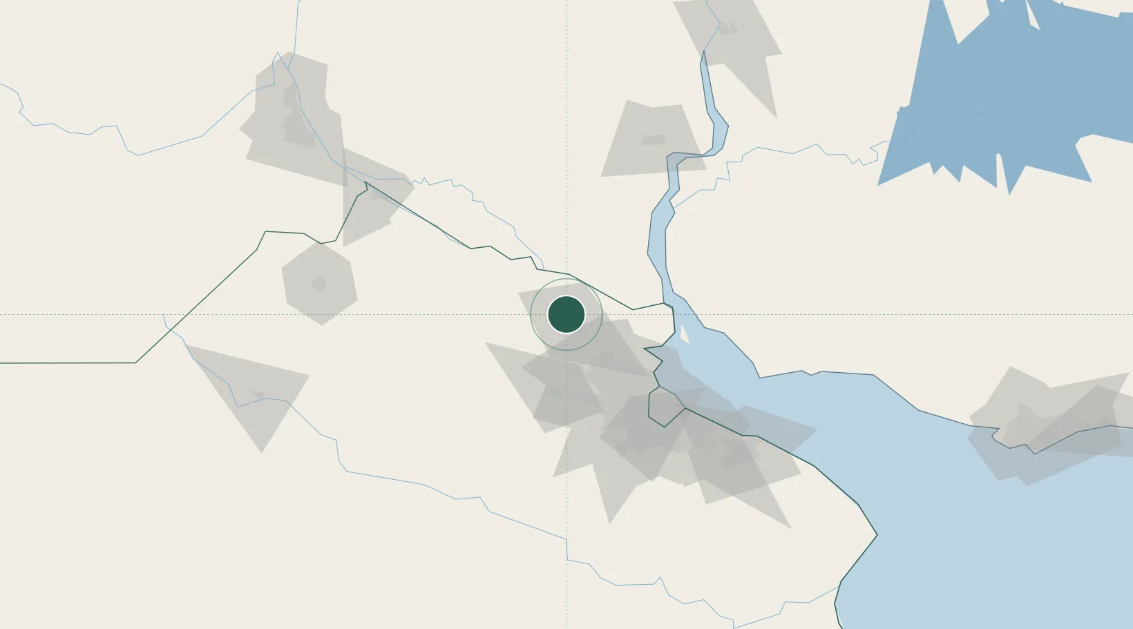
Zárate
-34.0780°, -59.0495°
99,061
Population
1
Transport functions
1
Container terminals
Transport Functions
Port
Hub Profile
Place type
Provincial seat
Region
Buenos Aires
Population
99,061
Time zone
America/Argentina/Buenos_Aires
Elevation
27 m
Logistics facilities
3
Container terminals
1
Location
Nearby Logistics Neighbours
Cities
- 1Las Palmas9 km
- 2Campana11 km
- 3Capilla del Señor25 km
- 4Del Guazu26 km
- 5Belén de Escobar36 km
Ports
- 1Campana11 km
- 2Puerto Ibicuy39 km
- 3Nueva Palmira62 km
- 4Buenos Aires85 km
- 5San Pedro90 km
Airports
Trade Zones
- 1Nueva Palmira Free Zone62 km
- 2Zona Sur Buenos Aires80 km
- 3Montes de Plata Free Zone93 km
- 4Colonia Free Zone120 km
- 5Zona Franca UPM129 km
DatabookThe Record of Consolidated Knowledge
Argentina beyond logistics?