Organized Industrial Zone · Türkiye
Usak Organized Industrial Zone
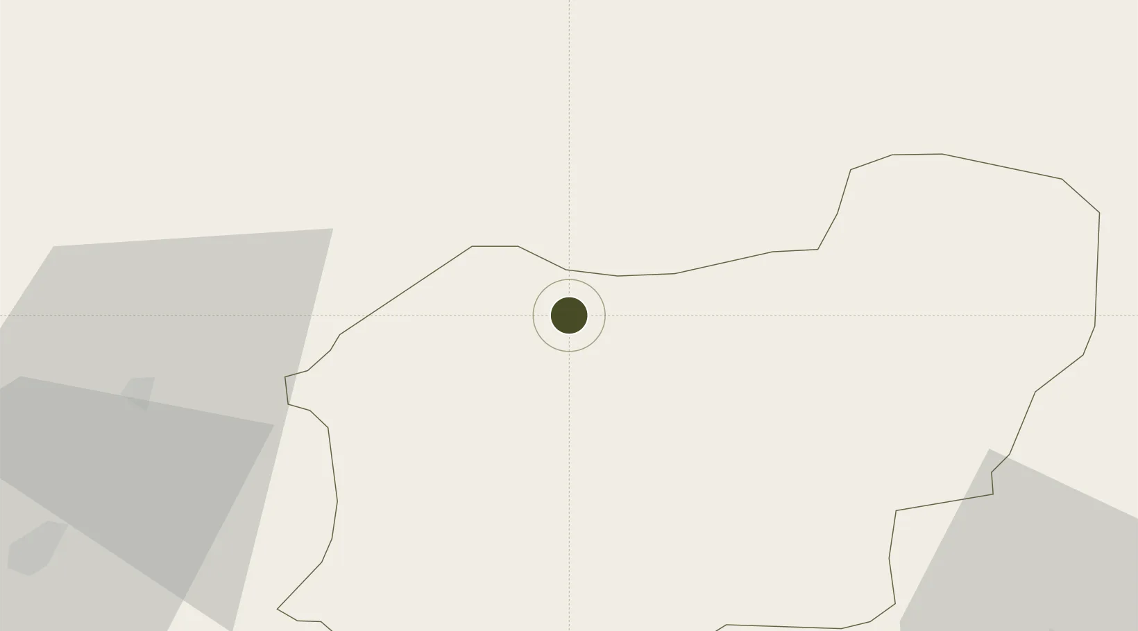
38.6786°, 29.2112°
472 ha
Zone area
182.7 km
Nearest port
22.6 km
Nearest airport
Gateway access
Zone profile
Zone type
Organized Industrial Zone
Region
Usak
Established
2007
Management
PPP
Operator
Usak Organized Industrial Zone Administration
Regulatory authority
Ministry of Industry and Trade
Legal framework
Organized Industrial Zones Law
Location
Fiscal & incentives
Corporate tax
20%
Tax relief
30% to 90%, depending on size, location, and sector of investment
Relief duration
Until amount of tax reduction equals 15% to 50% of investment, depending on size, location, and sector of investment
VAT
Excise tax support on goods used in production of electricty to the plants
Import duty (inputs)
0% exempt
Import duty (capex)
100% exempt
Profit repatriation
No exemption
Capital gains
No exemption
Withholding tax
100% exempt from income tax on newly recruited employees
Min. investment
$139K to $278K depending on location of investment
Min. export
0%
Employment incentive
Employer's contribution to insurance premiums are covered by Treasury
Developer incentive
Yes
Nearby Logistics Neighbours
Airports
- 1Uşak Airport23 km
- 2Zafer Airport93 km
- 3Çardak Airport108 km
- 4Kütahya Airport108 km
- 5Akhisar Airport / Akhisar Air Base120 km
Trade Zones
DatabookThe Record of Consolidated Knowledge
Türkiye beyond logistics?