Medium airport · Türkiye
Uşak AirportLTBO
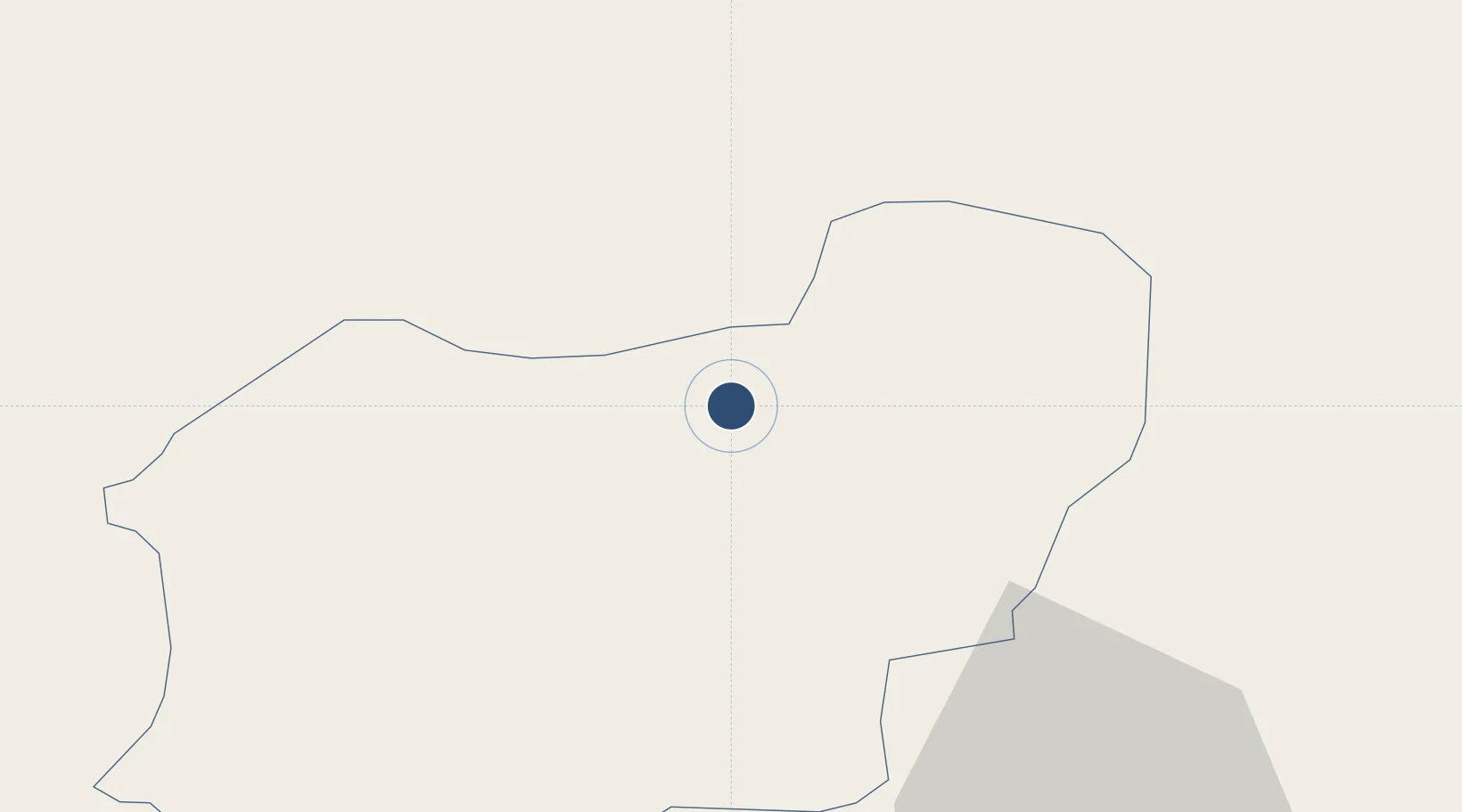
38.6815°, 29.4717°
8,390 ft
Longest runway
1
Runways
2,897 ft
Elevation
Runway & Layout

Radio Frequencies
TWR
121.425 MHz
APP
122.35 MHz
Uşak Approach
Navaids
USK NDB-DME Usak 0.41 MHz
Runways · 1
| Runway | Dimensions | Surface | True heading | Lit |
|---|---|---|---|---|
| 09/27 | 8,390 × 148ft | Concrete | 091° | ✓ |
Airport Specifications
IATA code
USQ
ICAO code
LTBO
Airport class
Medium airport
Scheduled service
No
Runway surface
Concrete
Served city
Uşak
Location
Nearby Logistics Neighbours
Airports
- 1Zafer Airport74 km
- 2Kütahya Airport95 km
- 3Afyon Air Base98 km
- 4Çardak Airport102 km
- 5Süleyman Demirel International Airport121 km
DatabookThe Record of Consolidated Knowledge
Türkiye beyond logistics?