Medium airport · Türkiye
Çardak AirportLTAY
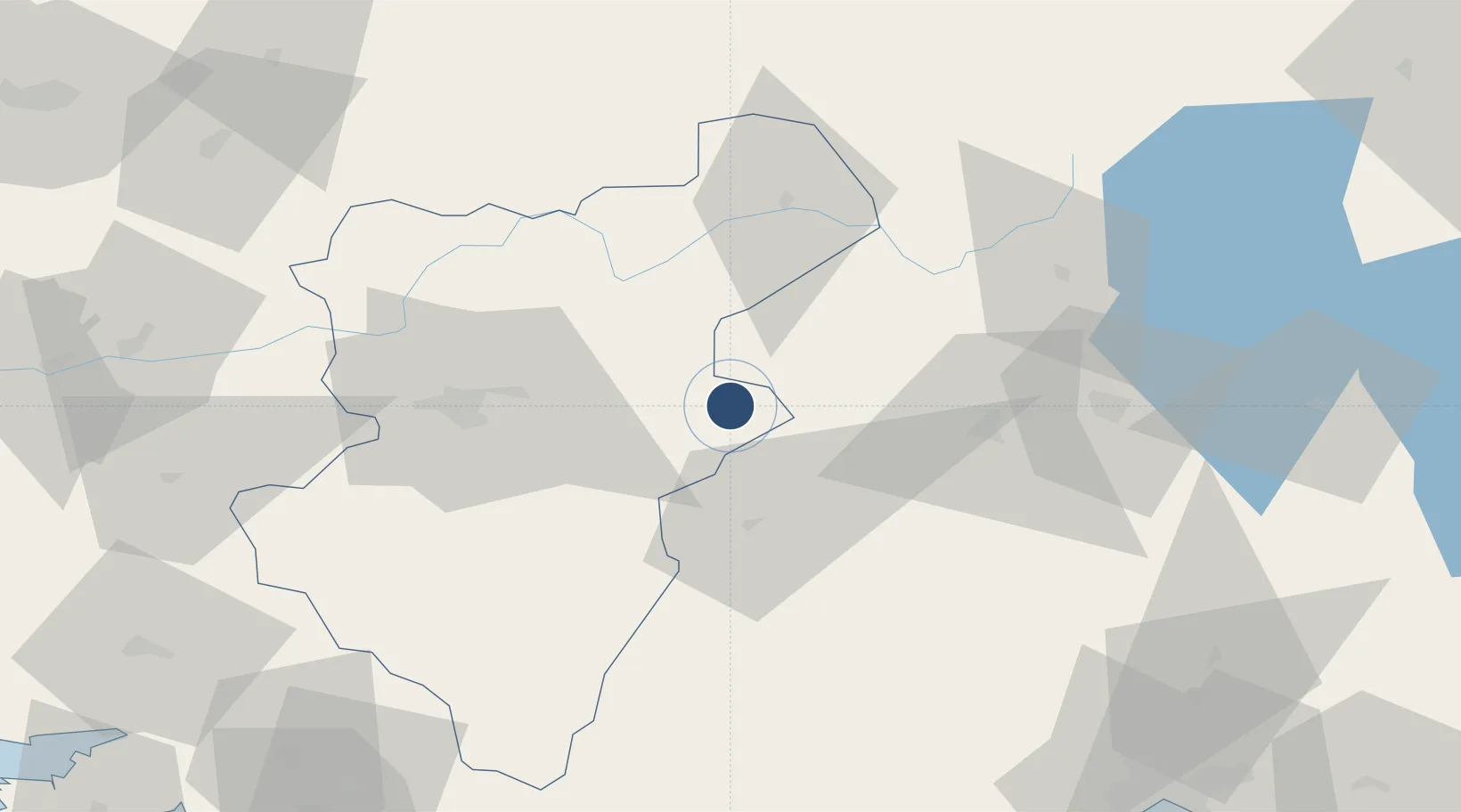
37.7856°, 29.7013°
9,842 ft
Longest runway
1
Runways
2,795 ft
Elevation
Runway & Layout

Radio Frequencies
TWR
118.6 MHz
GND
25.125 MHz
APP
121.6 MHz
MENDERES APP
Navaids
CRD TACAN Cardak 133.30 MHz
CRD VOR-DME Cardak 112.00 MHz
CRD NDB Cardak 433 kHz
Runways · 1
| Runway | Dimensions | Surface | True heading | Lit |
|---|---|---|---|---|
| 05/23 | 9,842 × 148ft | Asphalt | 059° | ✓ |
Airport Specifications
IATA code
DNZ
ICAO code
LTAY
Airport class
Medium airport
Scheduled service
Yes
Runway surface
Asphalt
Served city
Denizli
Location
Nearby Logistics Neighbours
Airports
- 1Süleyman Demirel International Airport59 km
- 2Uşak Airport102 km
- 3Afyon Air Base131 km
- 4Antalya International Airport138 km
- 5Dalaman International Airport144 km
Cities
- 1Kocabas34 km
- 2Çivril55 km
- 3Dosemealti117 km
- 4Antalya Free Zone132 km
- 5Antalya133 km
Ports
- 1Antalya133 km
- 2Antalya Offshore Terminal134 km
- 3Fethiye139 km
- 4Marmaris163 km
- 5Gulluk193 km
Trade Zones
DatabookThe Record of Consolidated Knowledge
Türkiye beyond logistics?