About
Methodology
Sources
Licensing
English
EN
English
TR
Türkçe
DE
Deutsch
FR
Français
ES
Español
IT
Italiano
PT
Português
NL
Nederlands
PL
Polski
RU
Русский
UK
Українська
CS
Čeština
RO
Română
EL
Ελληνικά
BG
Български
AR
العربية
FA
فارسی
UR
اردو
HI
हिन्दी
BN
বাংলা
ID
Bahasa Indonesia
VI
Tiếng Việt
ZH
中文
JA
日本語
KO
한국어
logibook
/
Countries
/
Türkiye
/
Locations
/
Pinarbasi
UN/LOCODE hub ·
Türkiye
TR
UZC
Pinarbasi
38.4167°, 27.2667°
1
Transport functions
Transport Functions
Multimodal
UN/LOCODE
Hub Profile
Place type
Populated place
GeoNames
Region
İzmir Province
GeoNames
Time zone
Europe/Istanbul
GeoNames
Elevation
93 m
GeoNames
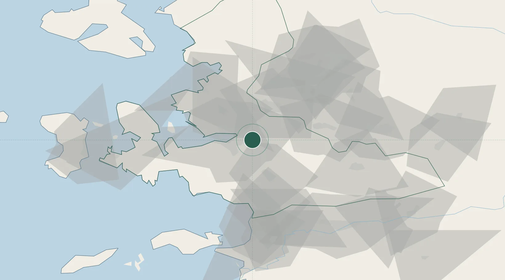
Location
Natural Earth 10m (public domain) · İzmir Province · TRUZC · 38.42, 27.27
Google ↗
OSM ↗
Yandex ↗
Nearby Logistics Neighbours
Cities
1
Izmir
6 km
2
Basmahane
10 km
3
Konak
15 km
4
Gaziemir
17 km
5
Manisa
24 km
Nearest neighbours — logibook spatial index (haversine) over the source coordinates
Ports
1
Izmir
12 km
2
Nemrut Limani Bay
49 km
3
Aliaga
55 km
4
Kusadasi
61 km
5
Dikili
77 km
Nearest neighbours — logibook spatial index (haversine) over the source coordinates
Airports
1
Adnan Menderes International Airport
17 km
2
Çiğli Airbase
25 km
3
Akhisar Airport / Akhisar Air Base
66 km
4
Samos Airport
87 km
5
Mytilene International Airport
92 km
Nearest neighbours — logibook spatial index (haversine) over the source coordinates
Trade Zones
1
Aegean Free Zone
15 km
2
Izmir Ataturk Organized Industrial Zone
22 km
3
Manisa Organized Industrial Zone
24 km
4
Izmir Free Zone
37 km
5
Aliaga Kimya Ihtisas ve Karma Organized Industrial Zone
48 km
Nearest neighbours — logibook spatial index (haversine) over the source coordinates
Data
book
The Record of Consolidated Knowledge
Türkiye beyond logistics?
Browse databook
→
All Sources
Locations
UN/LOCODE
UN/LOCODE — free
↗
Ports
the NGA World Port Index
Public domain (US gov)
↗
Airports
OurAirports
Public domain
↗
Trade Zones
the World Bank SEZ database
CC BY 4.0
↗
Trade Zones
Open Zone Map
CC BY
↗
← Türkiye locations