UN/LOCODE hub · Türkiye
TRMAM

Manisa

38.6280°, 27.3398°
243,971
Population
2
Transport functions

Transport Functions

Rail
Road
UN/LOCODE

Hub Profile

Place type
Regional capital
GeoNames
Region
Manisa
GeoNames
Population
243,971
GeoNames
Time zone
Europe/Istanbul
GeoNames
Elevation
77 m
GeoNames
Logistics facilities
1
UN/LOCODE

Location

Location of TRMAM
Natural Earth 10m (public domain) · Manisa · TRMAM · 38.63, 27.34GoogleOSMYandex

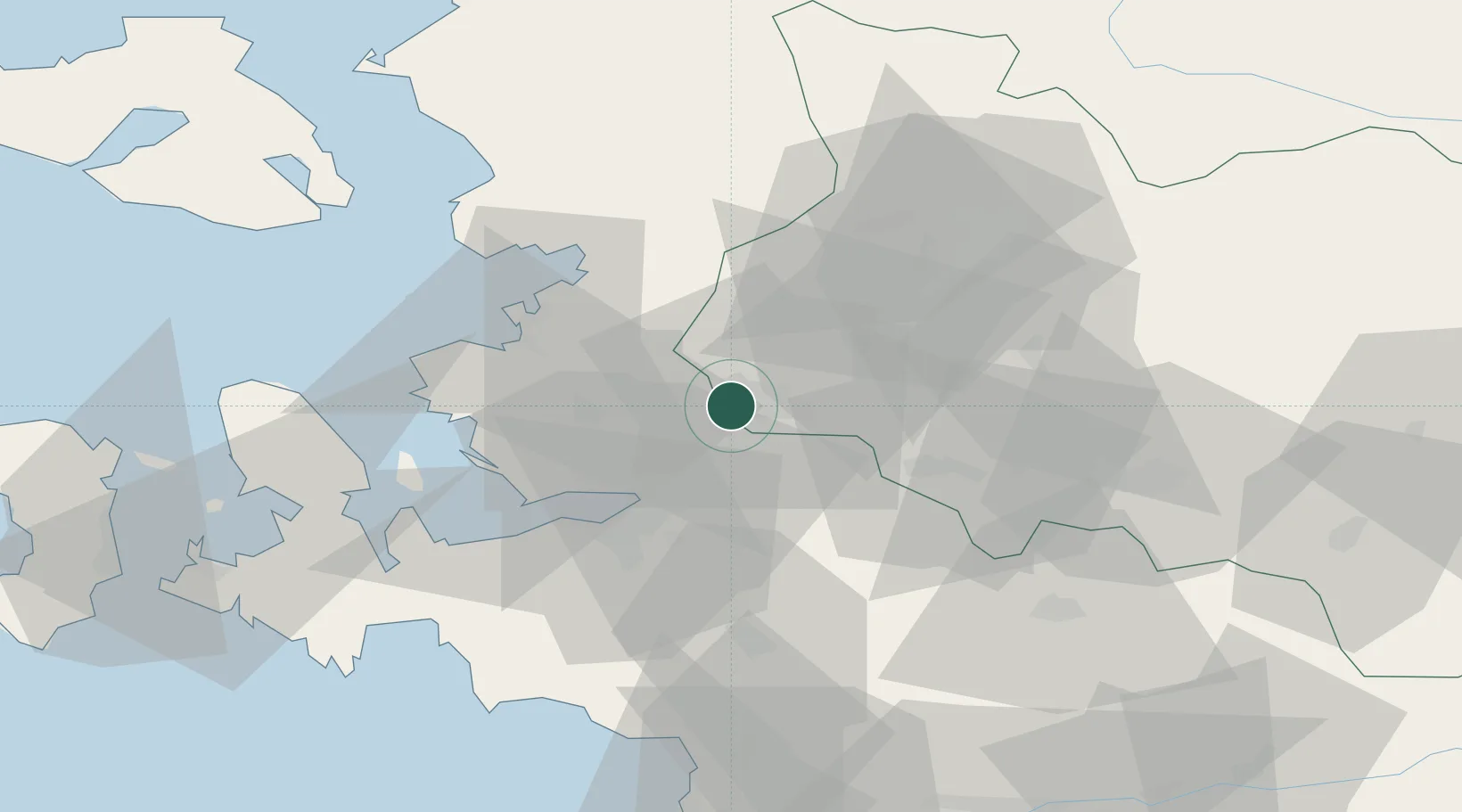
Nearby Logistics Neighbours

Cities
  1. 1Muradiye3 km
  2. 2Izmir20 km
  3. 3Pinarbasi24 km
  4. 4Basmahane29 km
  5. 5Konak33 km
Nearest neighbours — logibook spatial index (haversine) over the source coordinates
Ports
  1. 1Izmir28 km
  2. 2Nemrut Limani Bay40 km
  3. 3Aliaga42 km
  4. 4Dikili63 km
  5. 5Kusadasi85 km
Nearest neighbours — logibook spatial index (haversine) over the source coordinates
Airports
  1. 1Çiğli Airbase31 km
  2. 2Adnan Menderes International Airport41 km
  3. 3Akhisar Airport / Akhisar Air Base47 km
  4. 4Mytilene International Airport80 km
  5. 5Balıkesir Koca Seyit Airport107 km
Nearest neighbours — logibook spatial index (haversine) over the source coordinates
Trade Zones
  1. 1Manisa Organized Industrial Zone3 km
  2. 2Izmir Ataturk Organized Industrial Zone31 km
  3. 3Aliaga Kimya Ihtisas ve Karma Organized Industrial Zone33 km
  4. 4Izmir Free Zone36 km
  5. 5Aegean Free Zone37 km
Nearest neighbours — logibook spatial index (haversine) over the source coordinates
DatabookThe Record of Consolidated Knowledge
Türkiye beyond logistics?
Browse databook

All Sources

LocationsUN/LOCODE
UN/LOCODE — free
LocationsGeoNames
CC BY 4.0
Portsthe NGA World Port Index
Public domain (US gov)
AirportsOurAirports
Public domain
Trade Zonesthe World Bank SEZ database
CC BY 4.0
Trade ZonesOpen Zone Map
CC BY
← Türkiye locations