Small airport · Türkiye
Zafer AirportLTBZ
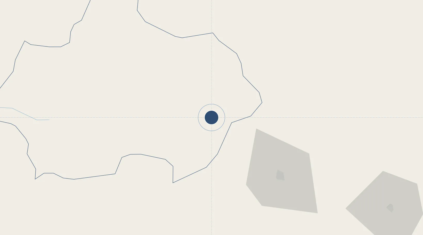
39.1131°, 30.1281°
9,843 ft
Longest runway
1
Runways
3,327 ft
Elevation
Runway & Layout

Runways · 1
| Runway | Dimensions | Surface | True heading | Lit |
|---|---|---|---|---|
| 13/31 | 9,843 × 148ft | Concrete | — | — |
Airport Specifications
IATA code
KZR
ICAO code
LTBZ
Airport class
Small airport
Scheduled service
Yes
Runway surface
Concrete
Served city
Altıntaş
Location
Nearby Logistics Neighbours
Airports
- 1Kütahya Airport36 km
- 2Afyon Air Base59 km
- 3Uşak Airport74 km
- 4Eskişehir Air Base84 km
- 5Hasan Polatkan Airport85 km
Ports
- 1Gemlik169 km
- 2Mudanya177 km
- 3Golcuk Burnu182 km
- 4Derince Burnu184 km
- 5Izmit185 km
DatabookThe Record of Consolidated Knowledge
Türkiye beyond logistics?