Seaport · Türkiye

AliagaTRALI

38.8333°, 26.9333°
3
Container terminals
288.8
Port liner connectivity
Aliaga is also a UN/LOCODE logistics hub →

Channel & Berth Profile

SEA LEVEL (CD)CHANNEL BEDOil terminal · 6.4 mAnchorage · 7.9 m
NGA World Port Index

Pilotage, Tugs & Services

Pilotage compulsoryYES
Pilotage availableYES
Tug assistanceYES
Salvage tugsYES
Potable waterYES
Diesel bunkersYES
MedicalYES
Garbage disposalYES
NGA World Port Index

Facilities & Capabilities

Container
Ro-Ro
Liquid bulk
Dry bulk
Oil terminal
Break bulk
Dry dock
Repairs
BunkeringYES
Rail linkYES
Dangerous cargo
ISPS security
NGA World Port Index

Harbour Specifications

Harbour size
Very Small
NGA World Port Index
Harbour type
Coastal (Breakwater)
NGA World Port Index
Shelter
Fair
NGA World Port Index
Water body
Aegean Sea; Mediterranean Sea; North Atlantic Ocean
NGA World Port Index
Tidal range
1 m
NGA World Port Index
Pilotage
Yes
NGA World Port Index

Liner Connectivity

288.8
PLSCI

Port Liner Shipping Connectivity Index for Aliaga, as published by UNCTAD for the latest available quarter. Higher values indicate stronger scheduled liner-shipping integration.

Shown relative to the highest per-port PLSCI in the dataset (1,657.9).
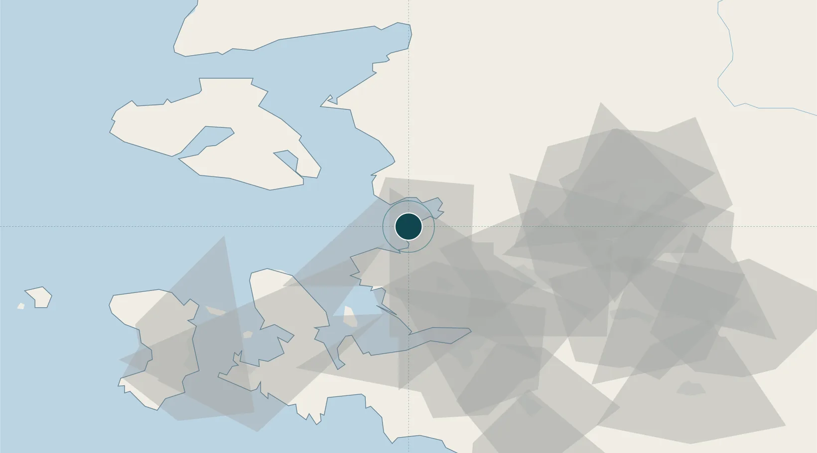
UNCTAD · Port Liner Shipping Connectivity Index

Location

Location of TRALI
Natural Earth 10m (public domain) · Izmir · TRALI · 38.83, 26.93GoogleOSMYandex

Container Terminals · 3

SOCAR ALIAGA TERMINAL
APMALI SOCAR ALIAGA LIMAN ISLETMECILIGI A.S.
NEMPORT TERMINAL
NEMPOR NEMPORT LIMAN ISLETMELERI VE OZEL ANTREPO NAKLIYE TICARET A.S.
TCEEGE CONTAINER TERMINAL
TCEEG TCEEGE KONTEYNER TERMINAL ISLETMELERI A.S.
SMDG Terminal Code List

Nearby Logistics Neighbours

Ports
  1. 1Nemrut Limani Bay8 km
  2. 2Dikili23 km
  3. 3Mitilini43 km
  4. 4Izmir48 km
  5. 5Plomarion52 km
Nearest neighbours — logibook spatial index (haversine) over the source coordinates
Cities
  1. 1Foça24 km
  2. 2Dikili26 km
  3. 3Muradiye40 km
  4. 4Manisa42 km
  5. 5Perama Geras Mytilinis44 km
Nearest neighbours — logibook spatial index (haversine) over the source coordinates
Airports
  1. 1Çiğli Airbase36 km
  2. 2Mytilene International Airport38 km
  3. 3Adnan Menderes International Airport63 km
  4. 4Akhisar Airport / Akhisar Air Base78 km
  5. 5Balıkesir Koca Seyit Airport80 km
Nearest neighbours — logibook spatial index (haversine) over the source coordinates
Trade Zones
  1. 1Aliaga Kimya Ihtisas ve Karma Organized Industrial Zone11 km
  2. 2Izmir Free Zone24 km
  3. 3Izmir Ataturk Organized Industrial Zone39 km
  4. 4Manisa Organized Industrial Zone45 km
  5. 5Aegean Free Zone58 km
Nearest neighbours — logibook spatial index (haversine) over the source coordinates
DatabookThe Record of Consolidated Knowledge
Türkiye beyond logistics?
Browse databook

All Sources

Portsthe NGA World Port Index
Public domain (US gov)
Logistics performanceUNCTAD
CC BY 3.0 IGO
Portsthe SMDG Terminal Code List
UN/LOCODE — free, attribution
AirportsOurAirports
Public domain
LocationsUN/LOCODE
UN/LOCODE — free
Trade Zonesthe World Bank SEZ database
CC BY 4.0
Trade ZonesOpen Zone Map
CC BY
← Türkiye ports