Seaport · Türkiye

IzmirTRIZM

38.4333°, 27.1333°
9.4 m
Channel depth
1
Container terminals
134.1
Port liner connectivity
Izmir is also a UN/LOCODE logistics hub →

Channel & Berth Profile

SEA LEVEL (CD)CHANNEL BEDOil terminal · 4.9 mCargo pier · 7.9 mChannel · 9.4 mAnchorage · 14.0 m
NGA World Port Index

Pilotage, Tugs & Services

Pilotage compulsoryYES
Pilotage availableYES
Pilotage advisableYES
Tug assistanceYES
Shore powerYES
Potable waterYES
Diesel bunkersYES
MedicalYES
Garbage disposalYES
NGA World Port Index

Facilities & Capabilities

Container
Ro-Ro
Liquid bulk
Dry bulk
Oil terminal
Break bulk
Dry dockNO
RepairsNO
BunkeringYES
Rail linkYES
Dangerous cargo
ISPS security
NGA World Port Index

Harbour Specifications

Harbour size
Large
NGA World Port Index
Harbour type
Coastal (Natural)
NGA World Port Index
Shelter
Fair
NGA World Port Index
Water body
Aegean Sea; Mediterranean Sea; North Atlantic Ocean
NGA World Port Index
Tidal range
2 m
NGA World Port Index
Pilotage
Yes
NGA World Port Index

Liner Connectivity

134.1
PLSCI

Port Liner Shipping Connectivity Index for Izmir, as published by UNCTAD for the latest available quarter. Higher values indicate stronger scheduled liner-shipping integration.

Shown relative to the highest per-port PLSCI in the dataset (1,657.9).
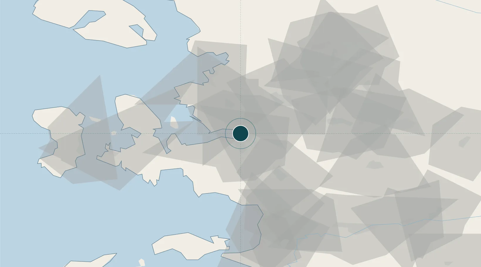
UNCTAD · Port Liner Shipping Connectivity Index

Location

Location of TRIZM
Natural Earth 10m (public domain) · Izmir · TRIZM · 38.43, 27.13GoogleOSMYandex

Container Terminals · 1

TCDD ALSANCAK
TCDD TURKIYE CUMHURIYETI DEVLET DEMIRYOLLARI ISLETMESIGENEL MUDURLUGU (TCDD)
SMDG Terminal Code List

Nearby Logistics Neighbours

Ports
  1. 1Nemrut Limani Bay42 km
  2. 2Aliaga48 km
  3. 3Kusadasi64 km
  4. 4Dikili70 km
  5. 5Samos77 km
Nearest neighbours — logibook spatial index (haversine) over the source coordinates
Cities
  1. 1Basmahane2 km
  2. 2Konak5 km
  3. 3Pinarbasi12 km
  4. 4Gaziemir13 km
  5. 5Güzelbahçe24 km
Nearest neighbours — logibook spatial index (haversine) over the source coordinates
Airports
  1. 1Çiğli Airbase14 km
  2. 2Adnan Menderes International Airport16 km
  3. 3Akhisar Airport / Akhisar Air Base74 km
  4. 4Mytilene International Airport84 km
  5. 5Samos Airport85 km
Nearest neighbours — logibook spatial index (haversine) over the source coordinates
Trade Zones
  1. 1Izmir Ataturk Organized Industrial Zone11 km
  2. 2Aegean Free Zone11 km
  3. 3Izmir Free Zone27 km
  4. 4Manisa Organized Industrial Zone29 km
  5. 5Aliaga Kimya Ihtisas ve Karma Organized Industrial Zone43 km
Nearest neighbours — logibook spatial index (haversine) over the source coordinates
DatabookThe Record of Consolidated Knowledge
Türkiye beyond logistics?
Browse databook

All Sources

Portsthe NGA World Port Index
Public domain (US gov)
Logistics performanceUNCTAD
CC BY 3.0 IGO
Portsthe SMDG Terminal Code List
UN/LOCODE — free, attribution
AirportsOurAirports
Public domain
LocationsUN/LOCODE
UN/LOCODE — free
Trade Zonesthe World Bank SEZ database
CC BY 4.0
Trade ZonesOpen Zone Map
CC BY
← Türkiye ports