Medium airport · Türkiye

Akhisar Airport / Akhisar Air BaseLTBT
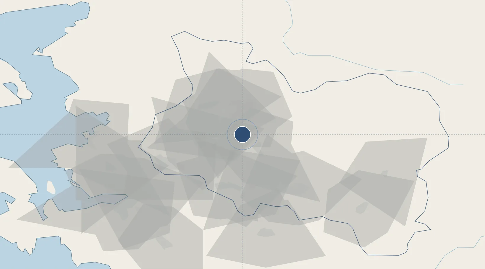
38.8089°, 27.8339°
9,815 ft
Longest runway
2
Runways
263 ft
Elevation

Runway & Layout

Akhisar Airport / Akhisar Air Base runway & taxiway layout
Runway & taxiway layout — OpenStreetMap (ODbL) / OurAirports

Radio Frequencies

TWR
122.1 MHz
GND
25.125 MHz
APP
120.1 MHz
MENDERES APP
OurAirports

Navaids

AKI TACAN Akhisar 110.20 MHz
OurAirports

Runways · 2

RunwayDimensions SurfaceTrue headingLit
14L/32R 9,815 × 148ft Concrete 139°
14R/32L 9,815 × 98ft Concrete 139°
OurAirports

Airport Specifications

ICAO code
LTBT
OurAirports
Airport class
Medium airport
OurAirports
Scheduled service
No
OurAirports
Runway surface
Concrete
OurAirports
Served city
Akhisar
OurAirports

Location

Location of LTBT
Natural Earth 10m (public domain) · Manisa · LTBT · 38.81, 27.83GoogleOSMYandex

Nearby Logistics Neighbours

Airports
  1. 1Çiğli Airbase79 km
  2. 2Adnan Menderes International Airport82 km
  3. 3Balıkesir Airport91 km
  4. 4Balıkesir Koca Seyit Airport109 km
  5. 5Mytilene International Airport110 km
Nearest neighbours — logibook spatial index (haversine) over the source coordinates
Cities
  1. 1Muradiye47 km
  2. 2Manisa47 km
  3. 3Izmir64 km
  4. 4Pinarbasi66 km
  5. 5Basmahane74 km
Nearest neighbours — logibook spatial index (haversine) over the source coordinates
Ports
  1. 1Izmir74 km
  2. 2Aliaga78 km
  3. 3Nemrut Limani Bay80 km
  4. 4Dikili91 km
  5. 5Ayvalik113 km
Nearest neighbours — logibook spatial index (haversine) over the source coordinates
Trade Zones
  1. 1Manisa Organized Industrial Zone46 km
  2. 2Salihli Organized Industrial Zone54 km
  3. 3Aliaga Kimya Ihtisas ve Karma Organized Industrial Zone68 km
  4. 4Tire Organized Industrial Zone77 km
  5. 5Izmir Ataturk Organized Industrial Zone78 km
Nearest neighbours — logibook spatial index (haversine) over the source coordinates
DatabookThe Record of Consolidated Knowledge
Türkiye beyond logistics?
Browse databook

All Sources

AirportsOurAirports
Public domain
Portsthe NGA World Port Index
Public domain (US gov)
LocationsUN/LOCODE
UN/LOCODE — free
Trade Zonesthe World Bank SEZ database
CC BY 4.0
Trade ZonesOpen Zone Map
CC BY
InfrastructureOpenStreetMap
ODbL 1.0
← Türkiye airports