Medium airport · Türkiye
Kütahya AirportLTBN
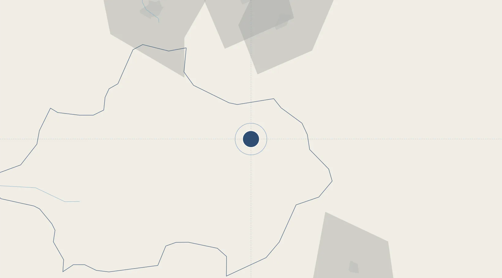
39.4267°, 30.0169°
4,950 ft
Longest runway
1
Runways
3,026 ft
Elevation
Runway & Layout

Radio Frequencies
TWR
122.1 MHz
GND
25.125 MHz
Navaids
KUT TACAN Kutahya 110.90 MHz
Runways · 1
| Runway | Dimensions | Surface | True heading | Lit |
|---|---|---|---|---|
| 16/34 | 4,950 × 132ft | Asphalt | 159° | ✓ |
Airport Specifications
ICAO code
LTBN
Airport class
Medium airport
Scheduled service
No
Runway surface
Asphalt
Served city
Kütahya
Location
Nearby Logistics Neighbours
Airports
- 1Zafer Airport36 km
- 2Hasan Polatkan Airport61 km
- 3Eskişehir Air Base63 km
- 4Afyon Air Base93 km
- 5Çukurhisar Airport94 km
Ports
- 1Gemlik134 km
- 2Mudanya144 km
- 3Golcuk Burnu146 km
- 4Derince Burnu148 km
- 5Izmit149 km
DatabookThe Record of Consolidated Knowledge
Türkiye beyond logistics?