Transport Functions
Rail
Road
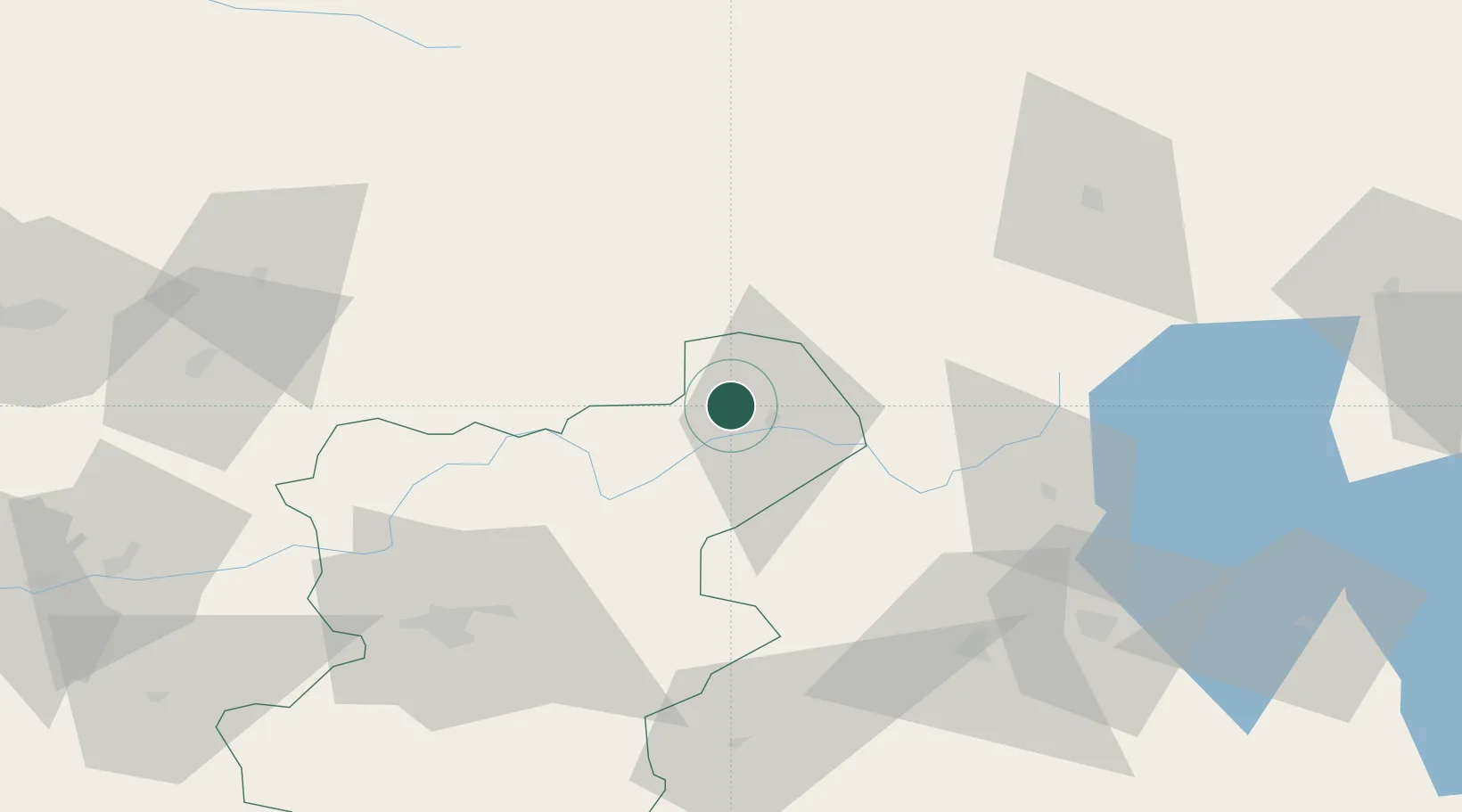
Hub Profile
Place type
Provincial seat
Region
Denizli
Population
14,002
Time zone
Europe/Istanbul
Elevation
828 m
Location
Nearby Logistics Neighbours
Cities
- 1Kocabas65 km
- 2Dosemealti160 km
- 3Antalya178 km
- 4Antalya Free Zone178 km
- 5Gocek185 km
Ports
- 1Antalya179 km
- 2Antalya Offshore Terminal180 km
- 3Fethiye192 km
- 4Marmaris204 km
- 5Gulluk219 km
Airports
- 1Uşak Airport50 km
- 2Çardak Airport55 km
- 3Süleyman Demirel International Airport73 km
- 4Afyon Air Base90 km
- 5Zafer Airport98 km
DatabookThe Record of Consolidated Knowledge
Türkiye beyond logistics?