Channel & Berth Profile
Pilotage, Tugs & Services
Pilotage compulsoryYES
Tug assistanceYES
Potable waterYES
Diesel bunkersYES
MedicalYES
Garbage disposalYES
Facilities & Capabilities
Container—
Ro-Ro—
Liquid bulk—
Dry bulk—
Oil terminal—
Break bulk—
Dry dock—
RepairsNO
BunkeringYES
Rail link—
Dangerous cargo—
ISPS security—
Harbour Specifications
Harbour size
Very Small
Harbour type
Coastal (Natural)
Shelter
Poor
Water body
Aegean Sea; Mediterranean Sea; North Atlantic Ocean
Pilotage
Yes
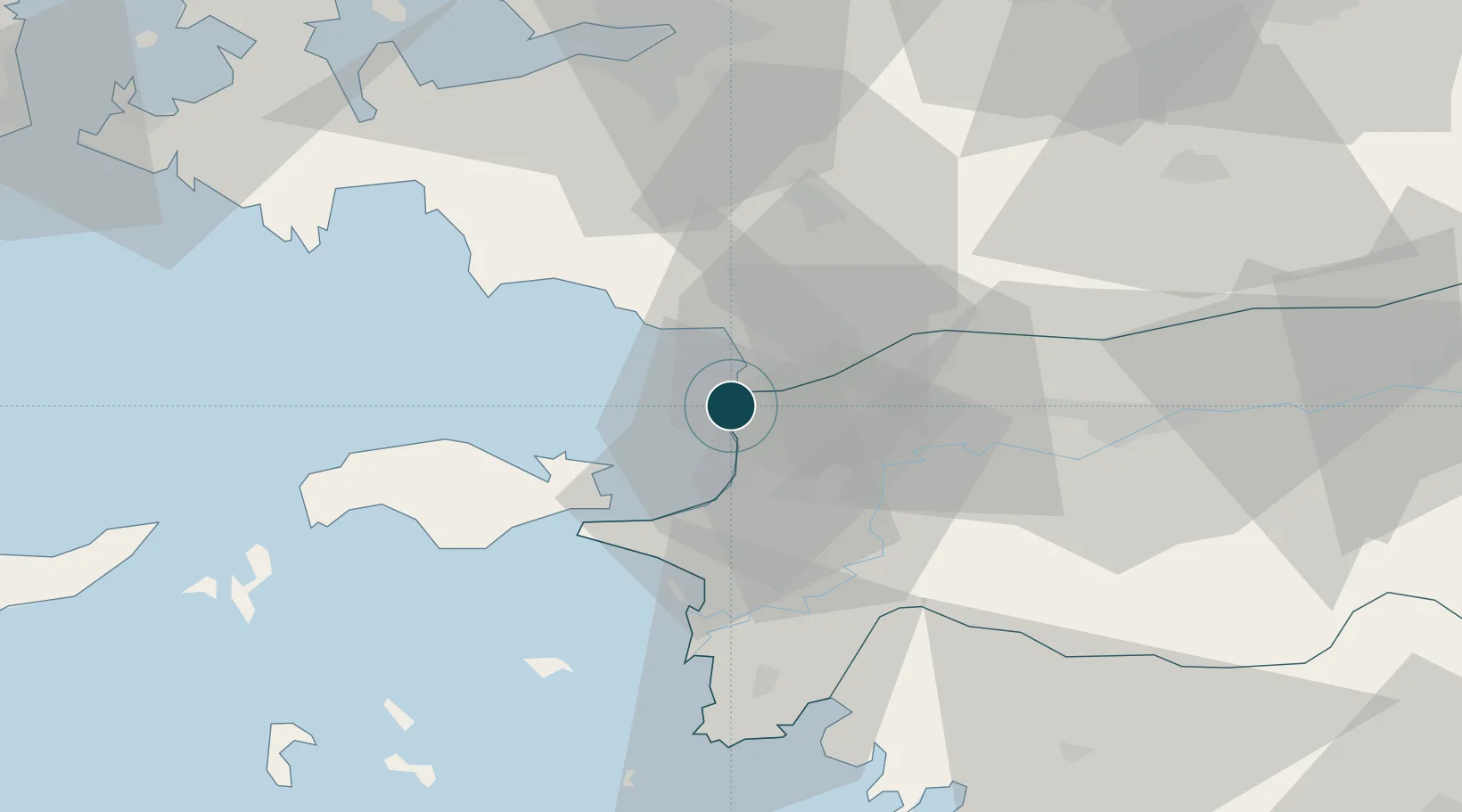
Location
Nearby Logistics Neighbours
Ports
- 1Samos28 km
- 2Pithagorion33 km
- 3Neon Karlovas50 km
- 4Izmir64 km
- 5Gulluk76 km
Cities
- 1Port Vathý (Vathý)27 km
- 2Pythagóreion32 km
- 3Néon Karlovásion50 km
- 4Gaziemir51 km
- 5Marathokampos Samou52 km
Airports
- 1Samos Airport36 km
- 2Adnan Menderes International Airport48 km
- 3Çiğli Airbase75 km
- 4Milas Bodrum International Airport78 km
- 5Ikaria Airport82 km
Trade Zones
DatabookThe Record of Consolidated Knowledge
Türkiye beyond logistics?