Free Trade Zone · Türkiye

Denizli Free Zone Active
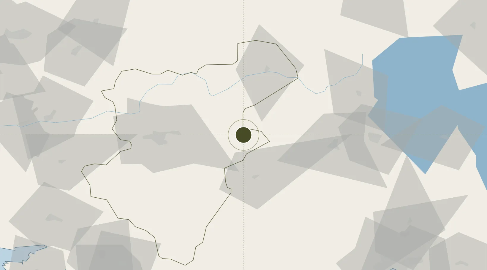
37.8033°, 29.6687°
219 ha
Zone area
136.6 km
Nearest port
3.5 km
Nearest airport

Gateway access

Nearest neighbours — logibook spatial index (haversine) over the source coordinates

Zone profile

Zone type
Free Trade Zone
the World Bank SEZ database
Region
Denizli
the World Bank SEZ database
Status
Active
the World Bank SEZ database
Established
2002
the World Bank SEZ database
Management
PPP
the World Bank SEZ database
Operator
Denizli Free Zone
the World Bank SEZ database
Regulatory authority
Undersecretariat for Foreign Trade
the World Bank SEZ database
Legal framework
Free Trade Zones Act
the World Bank SEZ database

Location

Location of TUR8
Natural Earth 10m (public domain) · Denizli · TUR8 · 37.80, 29.67GoogleOSMYandex

Fiscal & incentives

Corporate tax
20%
the World Bank SEZ database
Tax relief
100% exempt
the World Bank SEZ database
Relief duration
Perpetual
the World Bank SEZ database
VAT
100% exempt from VAT on utility charges
the World Bank SEZ database
Import duty (inputs)
100% exempt
the World Bank SEZ database
Import duty (capex)
100% exempt
the World Bank SEZ database
Profit repatriation
No exemption
the World Bank SEZ database
Capital gains
No exemption
the World Bank SEZ database
Withholding tax
100% exempt from personal income tax for companies that export 85%
the World Bank SEZ database
Min. investment
None
the World Bank SEZ database
Min. export
0%
the World Bank SEZ database
Employment incentive
No exemption
the World Bank SEZ database
Developer incentive
Yes
the World Bank SEZ database

Nearby Logistics Neighbours

Ports
  1. 1Antalya137 km
  2. 2Antalya Offshore Terminal137 km
  3. 3Fethiye140 km
  4. 4Marmaris162 km
  5. 5Gulluk191 km
Nearest neighbours — logibook spatial index (haversine) over the source coordinates
Airports
  1. 1Çardak Airport4 km
  2. 2Süleyman Demirel International Airport62 km
  3. 3Uşak Airport99 km
  4. 4Afyon Air Base131 km
  5. 5Antalya International Airport142 km
Nearest neighbours — logibook spatial index (haversine) over the source coordinates
Cities
  1. 1Kocabas31 km
  2. 2Çivril54 km
  3. 3Dosemealti120 km
  4. 4Gocek134 km
  5. 5Antalya Free Zone136 km
Nearest neighbours — logibook spatial index (haversine) over the source coordinates
Trade Zones
  1. 1Usak Deri (Karma) Organized Industrial Zone93 km
  2. 2Usak Organized Industrial Zone105 km
  3. 3Antalya Organized Industrial Zone116 km
  4. 4Gediz Mutesebbis Organized Industrial Zone 132 km
  5. 5Afyonkarahisar Organized Industrial Zone135 km
Nearest neighbours — logibook spatial index (haversine) over the source coordinates
DatabookThe Record of Consolidated Knowledge
Türkiye beyond logistics?
Browse databook

All Sources

Trade Zonesthe World Bank SEZ database
CC BY 4.0
Portsthe NGA World Port Index
Public domain (US gov)
AirportsOurAirports
Public domain
LocationsUN/LOCODE
UN/LOCODE — free
← Türkiye trade zones