Transport Functions
Multimodal
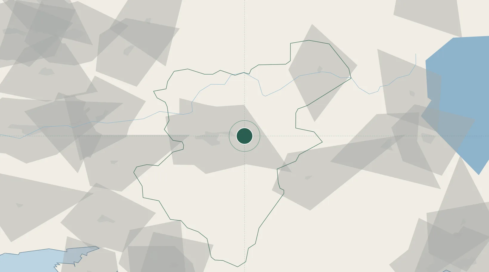
Hub Profile
Place type
Populated place
Region
Denizli
Population
934
Time zone
Europe/Istanbul
Elevation
457 m
Location
Nearby Logistics Neighbours
Ports
- 1Fethiye131 km
- 2Marmaris140 km
- 3Antalya157 km
- 4Antalya Offshore Terminal158 km
- 5Gulluk162 km
Airports
- 1Çardak Airport34 km
- 2Süleyman Demirel International Airport93 km
- 3Uşak Airport99 km
- 4Dalaman International Airport130 km
- 5Afyon Air Base152 km
Trade Zones
DatabookThe Record of Consolidated Knowledge
Türkiye beyond logistics?