Seaport · Türkiye

GemlikTRGEM

40.4167°, 29.1167°
3
Container terminals
231.8
Port liner connectivity
Gemlik is also a UN/LOCODE logistics hub →

Channel & Berth Profile

SEA LEVEL (CD)CHANNEL BEDCargo pier · 6.4 mOil terminal · 15.5 mAnchorage · 23.2 m
NGA World Port Index

Pilotage, Tugs & Services

Pilotage compulsoryYES
Pilotage availableYES
Pilotage advisableYES
Local assistanceYES
Tug assistanceYES
Potable waterYES
Diesel bunkersYES
MedicalYES
Garbage disposalYES
NGA World Port Index

Facilities & Capabilities

Container
Ro-Ro
Liquid bulk
Dry bulk
Oil terminal
Break bulk
Dry dock
RepairsNO
BunkeringYES
Rail link
Dangerous cargo
ISPS security
NGA World Port Index

Harbour Specifications

Harbour size
Very Small
NGA World Port Index
Harbour type
Open Roadstead
NGA World Port Index
Shelter
Fair
NGA World Port Index
Water body
Sea of Marmara; Mediterranean Sea; North Atlantic Ocean
NGA World Port Index
Overhead limit
Yes
NGA World Port Index
Pilotage
Yes
NGA World Port Index

Liner Connectivity

231.8
PLSCI

Port Liner Shipping Connectivity Index for Gemlik, as published by UNCTAD for the latest available quarter. Higher values indicate stronger scheduled liner-shipping integration.

Shown relative to the highest per-port PLSCI in the dataset (1,657.9).
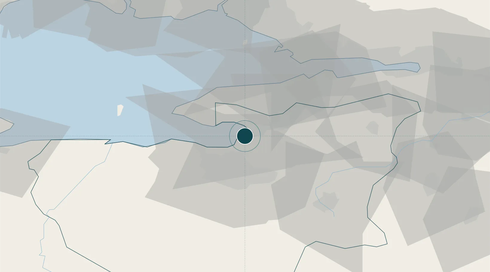
UNCTAD · Port Liner Shipping Connectivity Index

Location

Location of TRGEM
Natural Earth 10m (public domain) · Bursa · TRGEM · 40.42, 29.12GoogleOSMYandex

Container Terminals · 3

BORUSAN PORT GEMLIK
BORU BORUSAN LOJISTIK DAGITIM DEPOLAMA TASIMACILIK VE TICARET AS
YILPORT TERMINAL GEMLIK (GEMPORT)
GEMPOR YILPORT HOLDING INC.
RODA PORT GEMLIK
RODA RODA LIMAN DEPOLAMA VE LOJISTIK ISLETMELERI AS
SMDG Terminal Code List

Nearby Logistics Neighbours

Ports
  1. 1Mudanya20 km
  2. 2Gebze53 km
  3. 3Yarimca65 km
  4. 4Haydarpasa65 km
  5. 5Istanbul68 km
Nearest neighbours — logibook spatial index (haversine) over the source coordinates
Cities
  1. 1Mudanya21 km
  2. 2Yalova29 km
  3. 3Altinova44 km
  4. 4Tuzla50 km
  5. 5Yilport53 km
Nearest neighbours — logibook spatial index (haversine) over the source coordinates
Airports
  1. 1Bursa Yenişehir Airport42 km
  2. 2Istanbul Sabiha Gökçen International Airport56 km
  3. 3İstanbul Samandıra Army Air Base65 km
  4. 4İstanbul Atatürk Airport67 km
  5. 5Cengiz Topel Airport89 km
Nearest neighbours — logibook spatial index (haversine) over the source coordinates
Trade Zones
  1. 1Bursa Free Zone1 km
  2. 2Demirtas Organized Industrial Zone17 km
  3. 3Bursa Organized Industrial Zone24 km
  4. 4Nilufer Organized Industrial Zone25 km
  5. 5Bursa Ihtisas Deri Organized Industrial Zone42 km
Nearest neighbours — logibook spatial index (haversine) over the source coordinates
DatabookThe Record of Consolidated Knowledge
Türkiye beyond logistics?
Browse databook

All Sources

Portsthe NGA World Port Index
Public domain (US gov)
Logistics performanceUNCTAD
CC BY 3.0 IGO
Portsthe SMDG Terminal Code List
UN/LOCODE — free, attribution
AirportsOurAirports
Public domain
LocationsUN/LOCODE
UN/LOCODE — free
Trade Zonesthe World Bank SEZ database
CC BY 4.0
Trade ZonesOpen Zone Map
CC BY
← Türkiye ports