UN/LOCODE hub · Thailand
THSAP
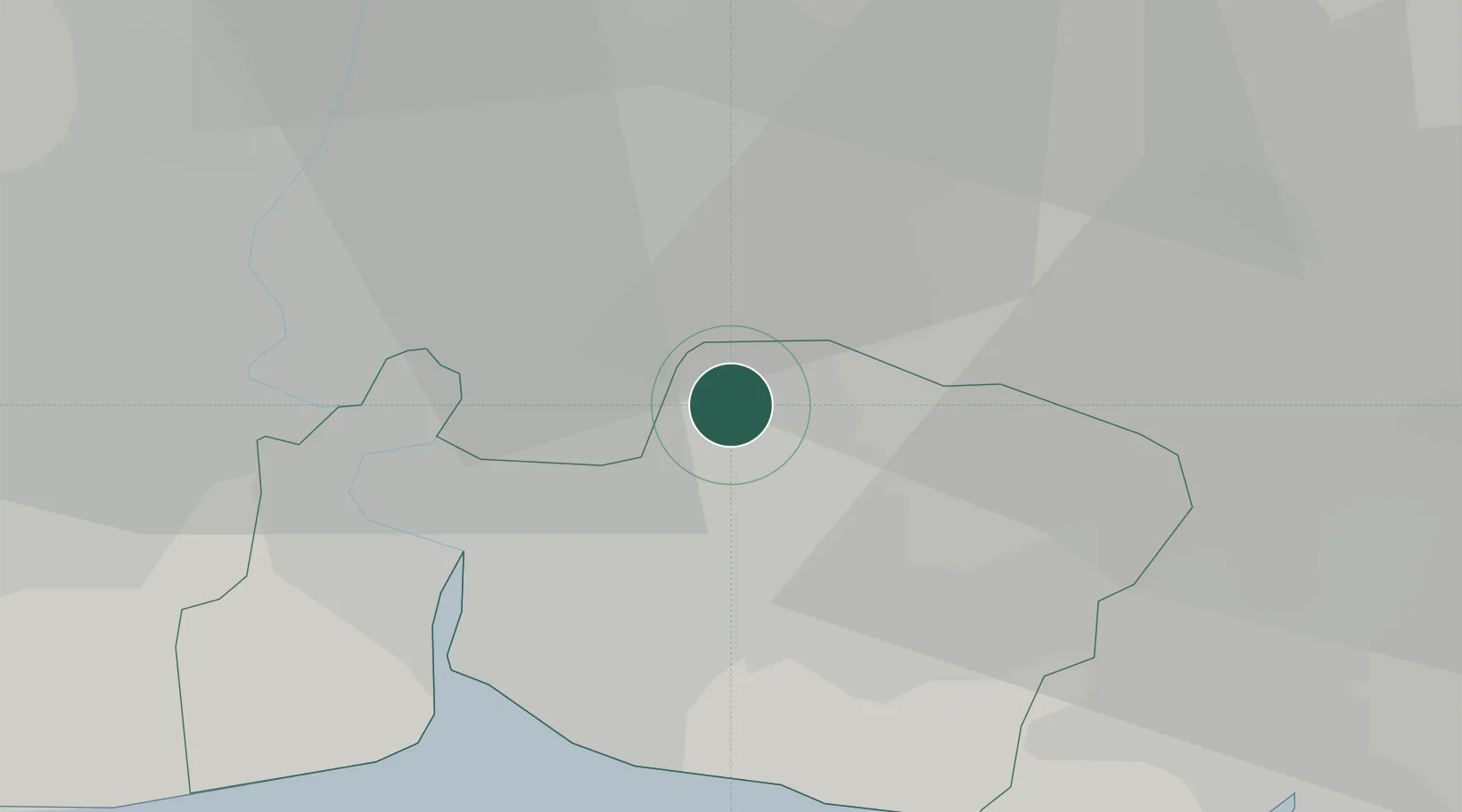
Samut Prakan
13.6819°, 100.7260°
388,920
Population
3
Transport functions
Transport Functions
Port
Road
Multimodal
Hub Profile
Place type
Regional capital
Region
Samut Prakan
Population
388,920
Time zone
Asia/Bangkok
Elevation
2 m
Logistics facilities
2
Location
Nearby Logistics Neighbours
Cities
- 1Lat Krabang7 km
- 2Bangkok10 km
- 3Phra Khanong14 km
- 4Siam Bangkok Port17 km
- 5T S Transport and Logistics18 km
Ports
- 1Bangkok26 km
- 2Ko Si Chang Terminal58 km
- 3Si Racha Terminal61 km
- 4Siam Seaport63 km
- 5Laem Chabang69 km
Airports
Trade Zones
DatabookThe Record of Consolidated Knowledge
Thailand beyond logistics?