UN/LOCODE hub · South Korea
KRSCP

Samcheonpo/Sacheon

34.9167°, 128.0667°
2
Transport functions

Transport Functions

Port
Road
UN/LOCODE

Hub Profile

Region
48
GeoNames

Location

Location of KRSCP
Natural Earth 10m (public domain) · 48 · KRSCP · 34.92, 128.07GoogleOSMYandex

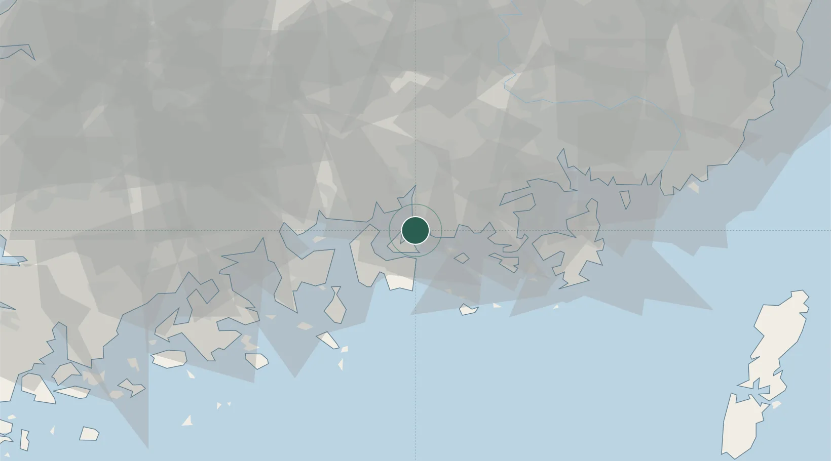
Nearby Logistics Neighbours

Cities
  1. 1Namhae-gun19 km
  2. 2Goseong-gun24 km
  3. 3Jinju28 km
  4. 4Boseong-gun30 km
  5. 5Junghwa31 km
Nearest neighbours — logibook spatial index (haversine) over the source coordinates
Ports
  1. 1Gwangyang Hang29 km
  2. 2Masan54 km
  3. 3Chinae58 km
  4. 4Busan90 km
  5. 5Ulsan135 km
Nearest neighbours — logibook spatial index (haversine) over the source coordinates
Airports
  1. 1Sacheon Airport / Sacheon Air Base19 km
  2. 2Yeosu Airport42 km
  3. 3Gimhae International Airport85 km
  4. 4Gwangju Airport117 km
  5. 5Daegu International Airport121 km
Nearest neighbours — logibook spatial index (haversine) over the source coordinates
Trade Zones
  1. 1Sacheon 2 General Industrial Complex16 km
  2. 2Sacheon Foreign Investment Zone17 km
  3. 3Daesong Industrial Complex22 km
  4. 4Jinju Enterprise City28 km
  5. 5Sangpyeong General Industrial Complex29 km
Nearest neighbours — logibook spatial index (haversine) over the source coordinates
DatabookThe Record of Consolidated Knowledge
South Korea beyond logistics?
Browse databook

All Sources

LocationsUN/LOCODE
UN/LOCODE — free
Portsthe NGA World Port Index
Public domain (US gov)
AirportsOurAirports
Public domain
Trade Zonesthe World Bank SEZ database
CC BY 4.0
Trade ZonesOpen Zone Map
CC BY
← South Korea locations