Transport Functions
Rail
Road
Hub Profile
Region
48
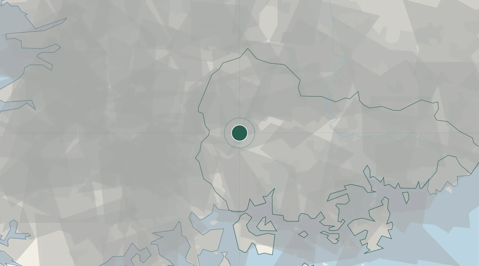
Location
Nearby Logistics Neighbours
Cities
- 1Hamyang-gun19 km
- 2Geochang-gun32 km
- 3Jinju33 km
- 4Hadong-gun35 km
- 5Jangsu-gun41 km
Ports
- 1Gwangyang Hang56 km
- 2Masan68 km
- 3Chinae77 km
- 4Busan111 km
- 5Kunsan130 km
Airports
- 1Sacheon Airport / Sacheon Air Base39 km
- 2Yeosu Airport66 km
- 3Daegu International Airport90 km
- 4Gimhae International Airport100 km
- 5Gwangju Airport101 km
Trade Zones
DatabookThe Record of Consolidated Knowledge
South Korea beyond logistics?