UN/LOCODE hub · South Korea
KRYWL

Yeongwol-gun

37.1833°, 128.4500°
2
Transport functions

Transport Functions

Rail
Road
UN/LOCODE

Hub Profile

Region
42
GeoNames

Location

Location of KRYWL
Natural Earth 10m (public domain) · 42 · KRYWL · 37.18, 128.45GoogleOSMYandex

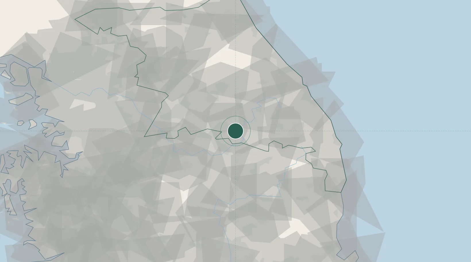
Nearby Logistics Neighbours

Cities
  1. 1Pyeongchang-gun21 km
  2. 2Jecheon21 km
  3. 3Tanyang24 km
  4. 4Danyang-gun24 km
  5. 5Jeongseon-gun27 km
Nearest neighbours — logibook spatial index (haversine) over the source coordinates
Ports
  1. 1Mukho73 km
  2. 2Tonghae73 km
  3. 3Sokch'o Hang114 km
  4. 4Pyeongtaek Hang148 km
  5. 5Pohang151 km
Nearest neighbours — logibook spatial index (haversine) over the source coordinates
Airports
  1. 1Wonju Airport / Hoengseong Air Base (K-38/K-46)52 km
  2. 2Jungwon Air Base/Chungju Airport53 km
  3. 3Yecheon Airbase62 km
  4. 4Gangneung Airport (K-18)77 km
  5. 5Cheongju International Airport/Cheongju Air Base (K-59/G-513)99 km
Nearest neighbours — logibook spatial index (haversine) over the source coordinates
DatabookThe Record of Consolidated Knowledge
South Korea beyond logistics?
Browse databook

All Sources

LocationsUN/LOCODE
UN/LOCODE — free
Portsthe NGA World Port Index
Public domain (US gov)
AirportsOurAirports
Public domain
Trade Zonesthe World Bank SEZ database
CC BY 4.0
Trade ZonesOpen Zone Map
CC BY
← South Korea locations