Specialized Zone · South Korea

Daegu City Regulation-Free Zone Active
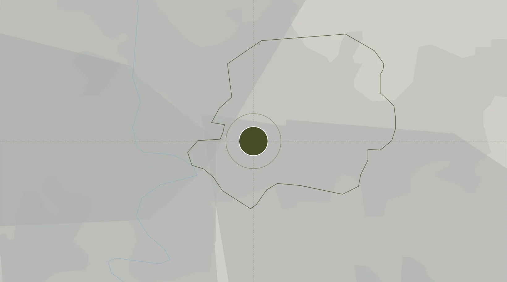
35.8613°, 128.5659°
88,354 ha
Zone area
75.4 km
Nearest port
9.0 km
Nearest airport

Gateway access

Nearest neighbours — logibook spatial index (haversine) over the source coordinates

Zone profile

Zone type
Specialized Zone
Open Zone Map
Specialization
Tech
Open Zone Map
Region
Daegu
Open Zone Map
Status
Active
Open Zone Map
Management
Public
Open Zone Map
Operator
Daegu Metropolitan City
Open Zone Map
Legal framework
Act On Special Cases Concerning The Regulation Of Regulation-Free Special Zones And Special Economic Zones For Specialized Regional Development: Section 1.
Open Zone Map

Location

Location of ozm-4307
Natural Earth 10m (public domain) · Daegu · ozm-4307 · 35.86, 128.57GoogleOSMYandex

Nearby Logistics Neighbours

Ports
  1. 1Masan75 km
  2. 2Pohang77 km
  3. 3Chinae81 km
  4. 4Ulsan88 km
  5. 5Busan95 km
Nearest neighbours — logibook spatial index (haversine) over the source coordinates
Airports
  1. 1Daegu International Airport9 km
  2. 2Ulsan Airport77 km
  3. 3Pohang Airport (G-815/K-3)78 km
  4. 4Gimhae International Airport83 km
  5. 5Yecheon Airbase88 km
Nearest neighbours — logibook spatial index (haversine) over the source coordinates
Cities
  1. 1Daegu2 km
  2. 2Dalseong-gun/Daegu5 km
  3. 3Gyeongsan17 km
  4. 4Chilgok-gun20 km
  5. 5Waegwan21 km
Nearest neighbours — logibook spatial index (haversine) over the source coordinates
Trade Zones
  1. 1Daegu Dyeing General Industrial Complex4 km
  2. 2Seongseo 1 General Industrial Complex7 km
  3. 3Geomdan General Industrial Complex7 km
  4. 4Suseong Medical District11 km
  5. 5Sinseo Medivalley15 km
Nearest neighbours — logibook spatial index (haversine) over the source coordinates
DatabookThe Record of Consolidated Knowledge
South Korea beyond logistics?
Browse databook

All Sources

Trade ZonesOpen Zone Map
CC BY
Portsthe NGA World Port Index
Public domain (US gov)
AirportsOurAirports
Public domain
LocationsUN/LOCODE
UN/LOCODE — free
← South Korea trade zones