Channel & Berth Profile
Pilotage, Tugs & Services
Pilotage compulsoryYES
Pilotage availableYES
Tug assistanceYES
Potable waterYES
Diesel bunkersNO
MedicalYES
Facilities & Capabilities
Container—
Ro-Ro—
Liquid bulk—
Dry bulk—
Oil terminal—
Break bulk—
Dry dock—
Repairs—
Bunkering—
Rail link—
Dangerous cargo—
ISPS security—
Harbour Specifications
Harbour size
Small
Harbour type
Open Roadstead
Shelter
Good
Water body
Caribbean Sea; North Atlantic Ocean
Tidal range
2 m
Overhead limit
No
Pilotage
Yes
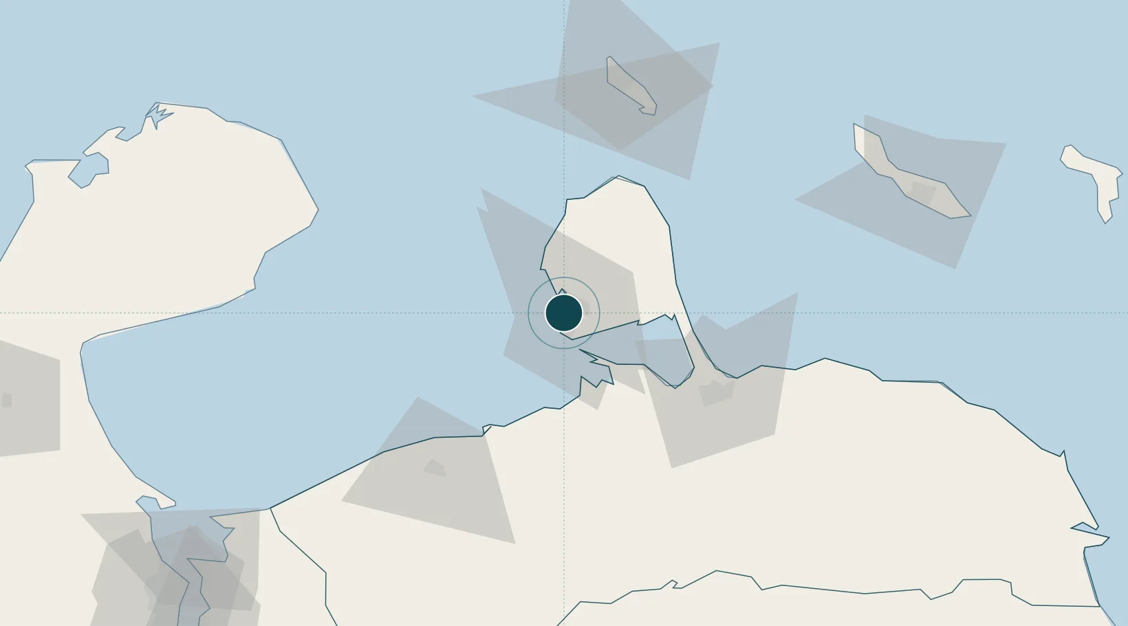
Location
Nearby Logistics Neighbours
Ports
- 1Amuay (Bahia De Amuay)6 km
- 2Punta Cardon8 km
- 3Sint Nicolaas Baai88 km
- 4Paarden Baai - (Oranjestad)93 km
- 5Puerto Cumarebo97 km
Cities
- 1Guaranao3 km
- 2Punto Fijo4 km
- 3Punta Cardón6 km
- 4Paraguana Refinery Center9 km
- 5Barcadera90 km
Airports
DatabookThe Record of Consolidated Knowledge
Venezuela beyond logistics?