Transport Functions
Port
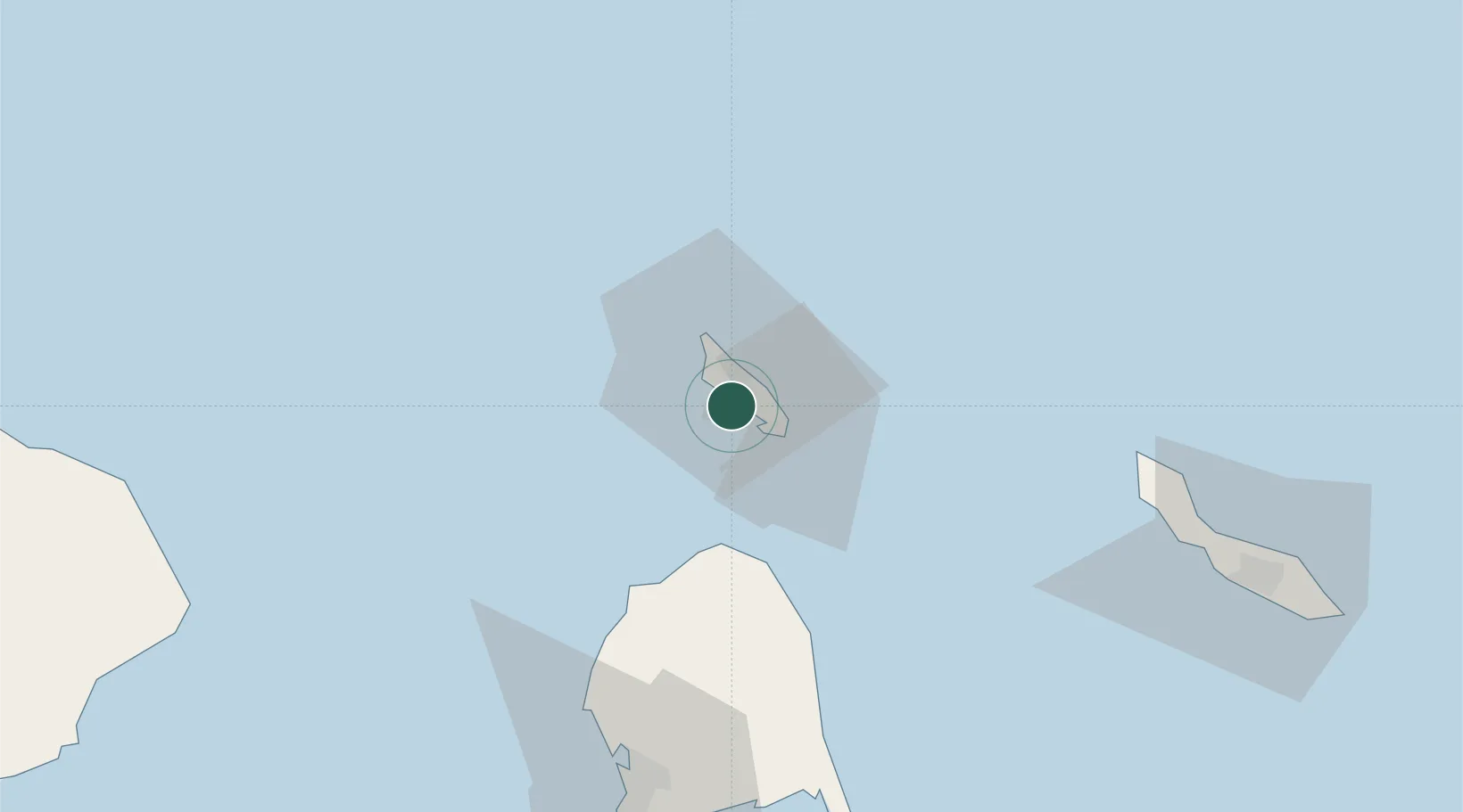
Hub Profile
Place type
Urban district
Time zone
America/Aruba
Elevation
14 m
Logistics facilities
1
Location
Nearby Logistics Neighbours
Cities
- 1Aruba1 km
- 2Oranjestad4 km
- 3Bushiribana8 km
- 4Punto Fijo91 km
- 5Guaranao93 km
Ports
- 1Paarden Baai - (Oranjestad)6 km
- 2Sint Nicolaas Baai10 km
- 3Amuay (Bahia De Amuay)85 km
- 4Las Piedras90 km
- 5Punta Cardon98 km
Airports
DatabookThe Record of Consolidated Knowledge
Aruba beyond logistics?