UN/LOCODE hub · Venezuela
VEGUA
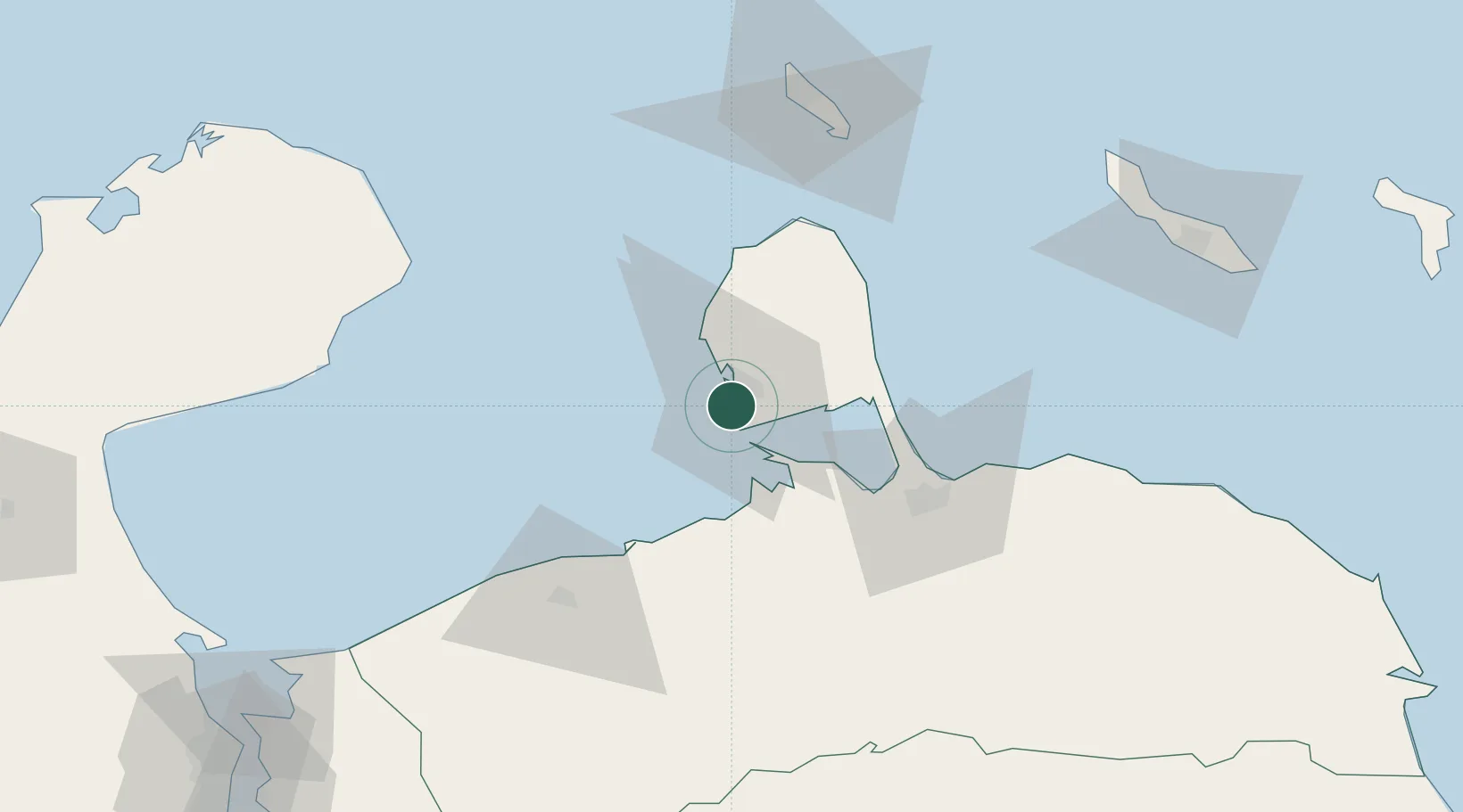
Guaranao
11.6708°, -70.2119°
2
Transport functions
1
Container terminals
Transport Functions
Port
Road
Hub Profile
Logistics facilities
1
Container terminals
1
Location
Nearby Logistics Neighbours
Cities
- 1Punta Cardón2 km
- 2Punto Fijo3 km
- 3Paraguana Refinery Center7 km
- 4Barcadera93 km
- 5Aruba93 km
Ports
- 1Las Piedras3 km
- 2Punta Cardon5 km
- 3Amuay (Bahia De Amuay)9 km
- 4Sint Nicolaas Baai91 km
- 5Paarden Baai - (Oranjestad)96 km
Airports
DatabookThe Record of Consolidated Knowledge
Venezuela beyond logistics?