Channel & Berth Profile
Pilotage, Tugs & Services
Pilotage compulsoryYES
Pilotage availableYES
Pilotage advisableYES
Tug assistanceYES
Shore powerYES
Potable waterYES
Diesel bunkersYES
MedicalYES
Facilities & Capabilities
Container—
Ro-Ro—
Liquid bulk—
Dry bulk—
Oil terminal—
Break bulk—
Dry dock—
RepairsNO
BunkeringYES
Rail link—
Dangerous cargo—
ISPS security—
Harbour Specifications
Harbour size
Small
Harbour type
Coastal (Breakwater)
Shelter
Fair
Water body
Caribbean Sea; North Atlantic Ocean
Tidal range
2 m
Pilotage
Yes
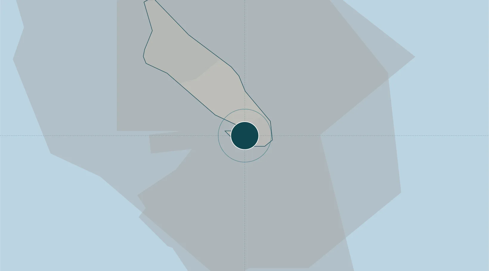
Location
Nearby Logistics Neighbours
Ports
- 1Paarden Baai - (Oranjestad)16 km
- 2Amuay (Bahia De Amuay)83 km
- 3Las Piedras88 km
- 4Punta Cardon95 km
- 5Bullen Baai100 km
Cities
- 1Aruba9 km
- 2Barcadera10 km
- 3Bushiribana14 km
- 4Oranjestad14 km
- 5Punto Fijo88 km
Airports
DatabookThe Record of Consolidated Knowledge
Aruba beyond logistics?