Seaport · Aruba
Paarden Baai - (Oranjestad)AWORJ
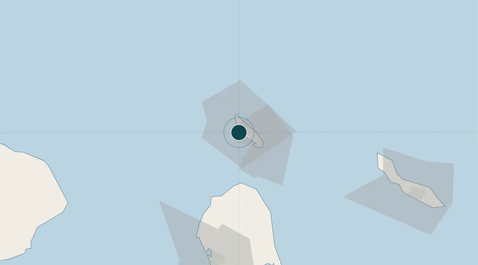
12.5167°, -70.0333°
11.0 m
Channel depth
2
Container terminals
31.3
Port liner connectivity
Channel & Berth Profile
Pilotage, Tugs & Services
Pilotage compulsoryYES
Pilotage availableYES
Pilotage advisableYES
Tug assistanceYES
Potable waterYES
Diesel bunkersYES
MedicalYES
Garbage disposalYES
Facilities & Capabilities
Container—
Ro-RoYES
Liquid bulk—
Dry bulk—
Oil terminal—
Break bulk—
Dry dock—
RepairsNO
BunkeringYES
Rail link—
Dangerous cargo—
ISPS securityYES
Harbour Specifications
Harbour size
Very Small
Harbour type
Coastal (Breakwater)
Shelter
Fair
Water body
Caribbean Sea; North Atlantic Ocean
Overhead limit
No
Pilotage
Yes
Liner Connectivity
31.3
PLSCI
Port Liner Shipping Connectivity Index for Paarden Baai - (Oranjestad), as published by UNCTAD for the latest available quarter. Higher values indicate stronger scheduled liner-shipping integration.
Shown relative to the highest per-port PLSCI in the dataset (1,657.9).
Location
Container Terminals · 2
PORT OF ORANJESTAD
ASTEC ARUBA PORTS AUTHORITY N.V.
BARCADERA CONTAINER TERMINAL
AWBAR ARUBA STEVEDORING COMPANY (ASTEC) N.V.
Nearby Logistics Neighbours
Ports
- 1Sint Nicolaas Baai16 km
- 2Amuay (Bahia De Amuay)88 km
- 3Las Piedras93 km
- 4Punta Cardon101 km
- 5Bullen Baai115 km
Cities
- 1Barcadera6 km
- 2Aruba6 km
- 3Bushiribana8 km
- 4Punto Fijo94 km
- 5Guaranao96 km
Airports
DatabookThe Record of Consolidated Knowledge
Aruba beyond logistics?