Large airport · Venezuela
Jacinto Lara International AirportSVBM
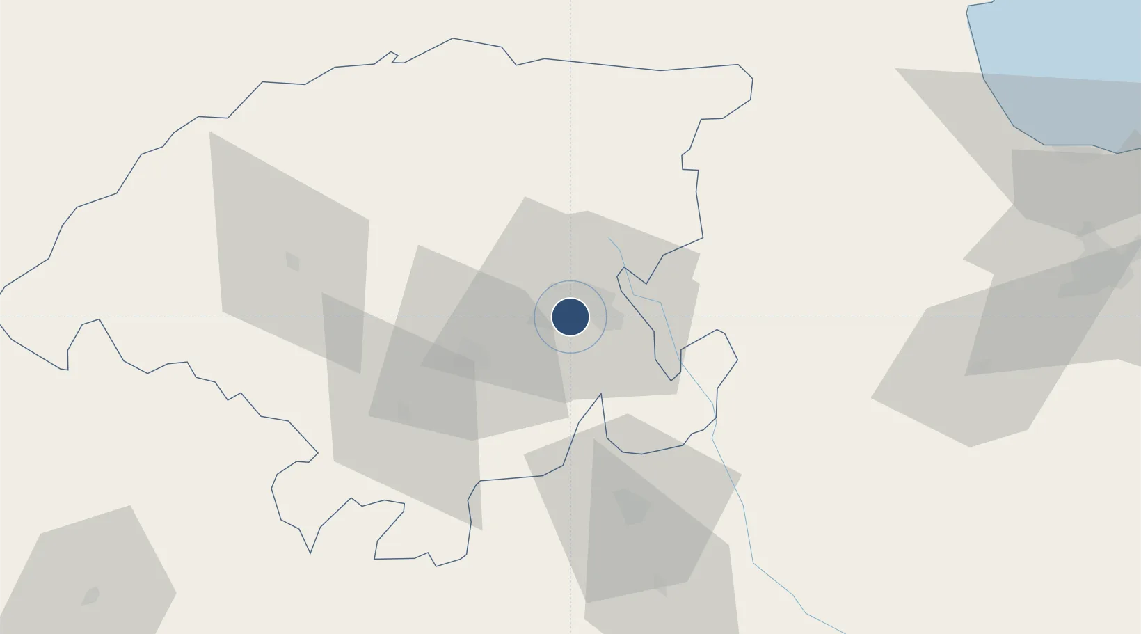
10.0427°, -69.3586°
9,350 ft
Longest runway
1
Runways
2,042 ft
Elevation
Runway & Layout

Radio Frequencies
ATIS
112.2 MHz
TWR
123.5 MHz
GND
121.9 MHz
APP
119.4 MHz
A/G
569.65 MHz
LANDAETA RDO
RDO
123.1 MHz
RDO
132 MHz
Navaids
BRM VOR-DME Barquisimeto 112.20 MHz
Runways · 1
| Runway | Dimensions | Surface | True heading | Lit |
|---|---|---|---|---|
| 09/27 | 9,350 × 147ft | Asphalt | 081° | ✓ |
Airport Specifications
IATA code
BRM
ICAO code
SVBM
Airport class
Large airport
Scheduled service
Yes
Runway surface
Asphalt
Served city
Barquisimeto
Location
Nearby Logistics Neighbours
Airports
Cities
- 1Sabana de Parra37 km
- 2La Miel39 km
- 3Araure55 km
- 4El Playon111 km
- 5Morón136 km
Ports
- 1El Palito145 km
- 2Puerto Chichiriviche154 km
- 3Puerto Cabello157 km
- 4Puerto Borburata158 km
- 5Puerto Cumarebo160 km
Trade Zones
- 1Morón Puerto Cabello Special Economic Zone135 km
- 2Paraguana SEZ206 km
- 3Free Zone for the Promotion of Tourism Investment in the Paraguaná Peninsula (Zona Libre para el Fomento de la Inversión Turística de la Península de Paraguaná)221 km
- 4Harbor Free Zone Curaçao232 km
- 5Industrial Park Brievengat241 km
DatabookThe Record of Consolidated Knowledge
Venezuela beyond logistics?