Medium airport · Venezuela

Josefa Camejo International AirportSVJC
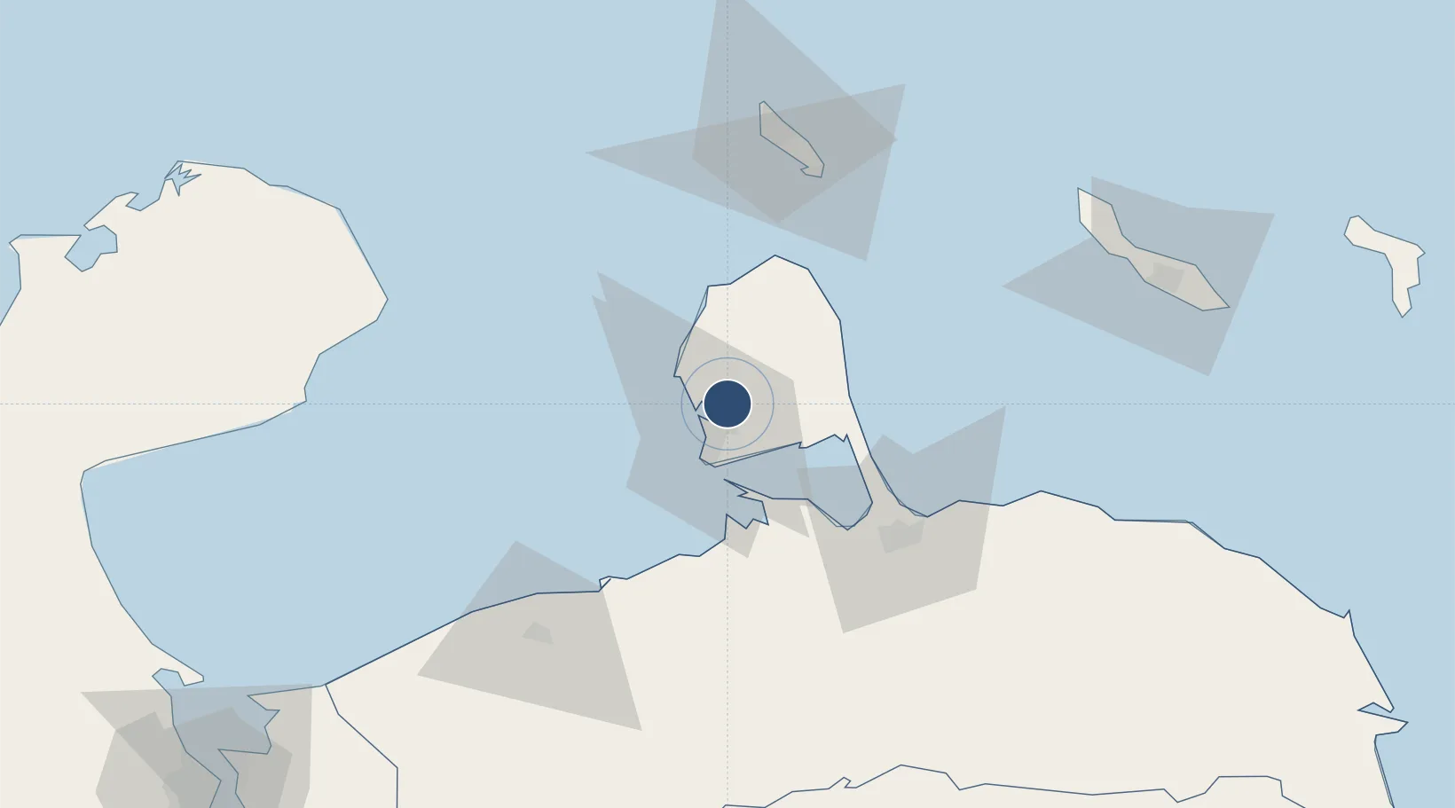
11.7808°, -70.1515°
9,186 ft
Longest runway
1
Runways
75 ft
Elevation

Runway & Layout

Josefa Camejo International Airport runway & taxiway layout
Runway & taxiway layout — OpenStreetMap (ODbL) / OurAirports

Radio Frequencies

TWR
118.45 MHz
OurAirports

Navaids

PRG VOR-DME Paraguana 113.60 MHz
PRG NDB Paraguana 385 kHz
OurAirports

Runways · 1

RunwayDimensions SurfaceTrue headingLit
09/27 9,186 × 148ft Asphalt 085°
OurAirports

Airport Specifications

IATA code
LSP
OurAirports
ICAO code
SVJC
OurAirports
Airport class
Medium airport
OurAirports
Scheduled service
Yes
OurAirports
Runway surface
Asphalt
OurAirports
Served city
Paraguaná
OurAirports

Location

Location of SVJC
Natural Earth 10m (public domain) · Falcón · SVJC · 11.78, -70.15GoogleOSMYandex

Nearby Logistics Neighbours

Airports
  1. 1José Leonardo Chirinos Airport65 km
  2. 2Queen Beatrix International Airport82 km
  3. 3Hato International Airport137 km
  4. 4Flamingo International Airport209 km
  5. 5Jacinto Lara International Airport212 km
Nearest neighbours — logibook spatial index (haversine) over the source coordinates
Cities
  1. 1Punto Fijo11 km
  2. 2Guaranao14 km
  3. 3Punta Cardón16 km
  4. 4Paraguana Refinery Center20 km
  5. 5Barcadera80 km
Nearest neighbours — logibook spatial index (haversine) over the source coordinates
Ports
  1. 1Amuay (Bahia De Amuay)10 km
  2. 2Las Piedras11 km
  3. 3Punta Cardon19 km
  4. 4Sint Nicolaas Baai77 km
  5. 5Paarden Baai - (Oranjestad)83 km
Nearest neighbours — logibook spatial index (haversine) over the source coordinates
DatabookThe Record of Consolidated Knowledge
Venezuela beyond logistics?
Browse databook

All Sources

AirportsOurAirports
Public domain
Portsthe NGA World Port Index
Public domain (US gov)
LocationsUN/LOCODE
UN/LOCODE — free
Trade Zonesthe World Bank SEZ database
CC BY 4.0
Trade ZonesOpen Zone Map
CC BY
InfrastructureOpenStreetMap
ODbL 1.0
← Venezuela airports