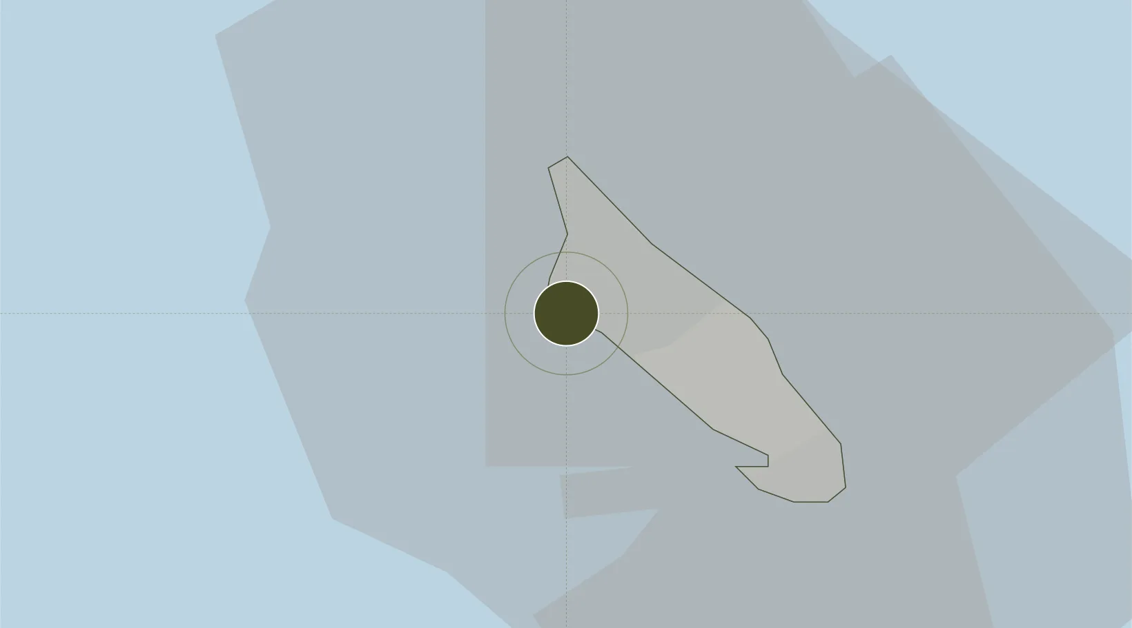
Free Trade Zone · Aruba

Bushiri Free Zone Active

12.5348°, -70.0498°
9 ha
Zone area
2.7 km
Nearest port
5.4 km
Nearest airport

Gateway access

Nearest neighbours — logibook spatial index (haversine) over the source coordinates

Zone profile

Zone type
Free Trade Zone
Open Zone Map
Region
Aruba
Open Zone Map
Status
Active
Open Zone Map
Management
Public
Open Zone Map
Operator
Free Zone Aruba (FZA) NV
Open Zone Map
Legal framework
2019 State Ordinance on Free Zones
Open Zone Map

Location

Location of ozm-58
Natural Earth 10m (public domain) · Aruba · ozm-58 · 12.53, -70.05GoogleOSMYandex

Nearby Logistics Neighbours

Ports
  1. 1Paarden Baai - (Oranjestad)3 km
  2. 2Sint Nicolaas Baai18 km
  3. 3Amuay (Bahia De Amuay)90 km
  4. 4Las Piedras95 km
  5. 5Punta Cardon102 km
Nearest neighbours — logibook spatial index (haversine) over the source coordinates
Airports
  1. 1Queen Beatrix International Airport5 km
  2. 2Josefa Camejo International Airport85 km
  3. 3Hato International Airport125 km
  4. 4José Leonardo Chirinos Airport131 km
  5. 5Flamingo International Airport199 km
Nearest neighbours — logibook spatial index (haversine) over the source coordinates
Cities
  1. 1Oranjestad4 km
  2. 2Barcadera8 km
  3. 3Aruba9 km
  4. 4Bushiribana9 km
  5. 5Punto Fijo96 km
Nearest neighbours — logibook spatial index (haversine) over the source coordinates
DatabookThe Record of Consolidated Knowledge
Aruba beyond logistics?
Browse databook

All Sources

Trade ZonesOpen Zone Map
CC BY
Portsthe NGA World Port Index
Public domain (US gov)
AirportsOurAirports
Public domain
LocationsUN/LOCODE
UN/LOCODE — free
← Aruba trade zones