Channel & Berth Profile
Pilotage, Tugs & Services
Pilotage compulsoryYES
Pilotage availableYES
Tug assistanceNO
Potable waterYES
Diesel bunkersYES
Facilities & Capabilities
Container—
Ro-Ro—
Liquid bulk—
Dry bulkYES
Oil terminal—
Break bulk—
Dry dock—
Repairs—
BunkeringYES
Rail link—
Dangerous cargo—
ISPS securityYES
Harbour Specifications
Harbour size
Very Small
Harbour type
Open Roadstead
Shelter
Poor
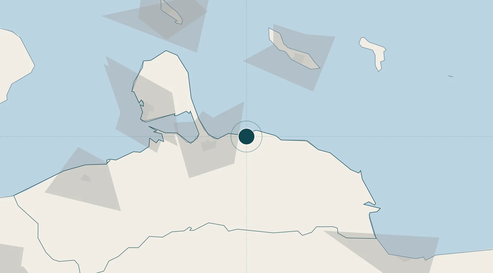
Water body
Caribbean Sea; North Atlantic Ocean
Tidal range
1 m
Overhead limit
No
Pilotage
Yes
Location
Nearby Logistics Neighbours
Ports
- 1Sint Michelsbaai81 km
- 2Caracasbaai84 km
- 3Willemstad84 km
- 4Bullen Baai85 km
- 5Las Piedras97 km
Cities
- 1Turen34 km
- 2Willemstad83 km
- 3Sint Michielsbaai84 km
- 4Dominguito84 km
- 5Caracas Baai85 km
Airports
DatabookThe Record of Consolidated Knowledge
Venezuela beyond logistics?