UN/LOCODE hub · Venezuela
VEPFI
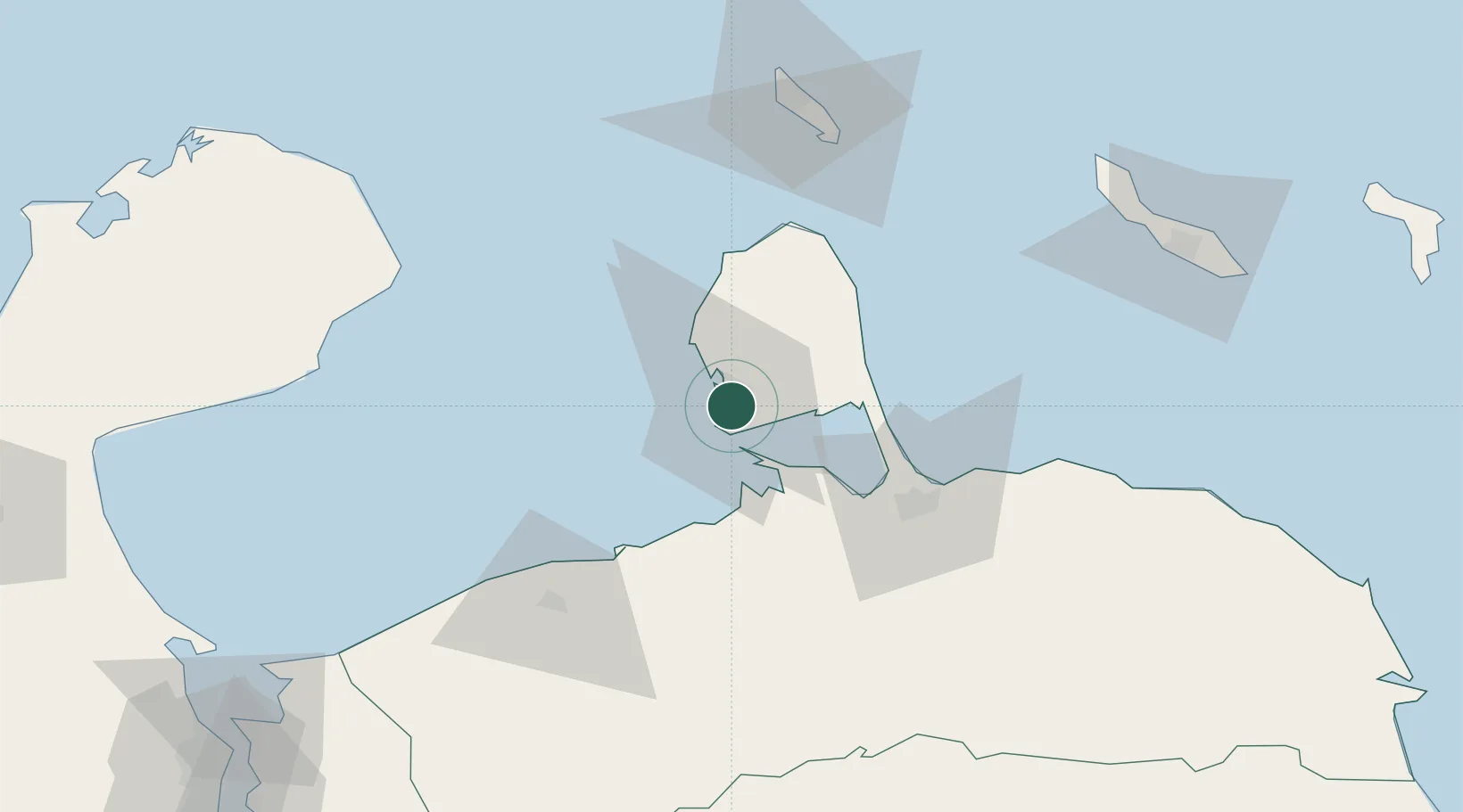
Punto Fijo
11.6833°, -70.1833°
141,729
Population
2
Transport functions
Transport Functions
Port
Road
Hub Profile
Place type
Provincial seat
Region
Falcón
Population
141,729
Time zone
America/Caracas
Elevation
24 m
Location
Nearby Logistics Neighbours
Cities
- 1Guaranao3 km
- 2Punta Cardón5 km
- 3Paraguana Refinery Center9 km
- 4Barcadera91 km
- 5Aruba91 km
Ports
- 1Las Piedras4 km
- 2Punta Cardon8 km
- 3Amuay (Bahia De Amuay)9 km
- 4Sint Nicolaas Baai88 km
- 5Puerto Cumarebo94 km
Airports
DatabookThe Record of Consolidated Knowledge
Venezuela beyond logistics?