Transport Functions
Port
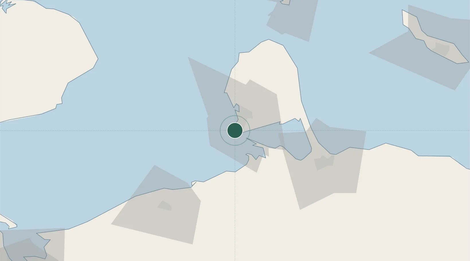
Location
Nearby Logistics Neighbours
Cities
- 1Punta Cardón4 km
- 2Guaranao7 km
- 3Punto Fijo9 km
- 4Puerto Cumarebo97 km
- 5Barcadera100 km
Ports
- 1Punta Cardon2 km
- 2Las Piedras9 km
- 3Amuay (Bahia De Amuay)15 km
- 4Sint Nicolaas Baai97 km
- 5Puerto Cumarebo97 km
Airports
DatabookThe Record of Consolidated Knowledge
Venezuela beyond logistics?