Channel & Berth Profile
Pilotage, Tugs & Services
Pilotage compulsoryYES
Pilotage availableYES
Potable waterYES
MedicalYES
Facilities & Capabilities
Container—
Ro-Ro—
Liquid bulk—
Dry bulk—
Oil terminal—
Break bulk—
Dry dock—
Repairs—
Bunkering—
Rail link—
Dangerous cargo—
ISPS security—
Harbour Specifications
Harbour size
Very Small
Harbour type
Coastal (Natural)
Shelter
Good
Water body
Caribbean Sea; North Atlantic Ocean
Tidal range
1 m
Overhead limit
No
Pilotage
Yes
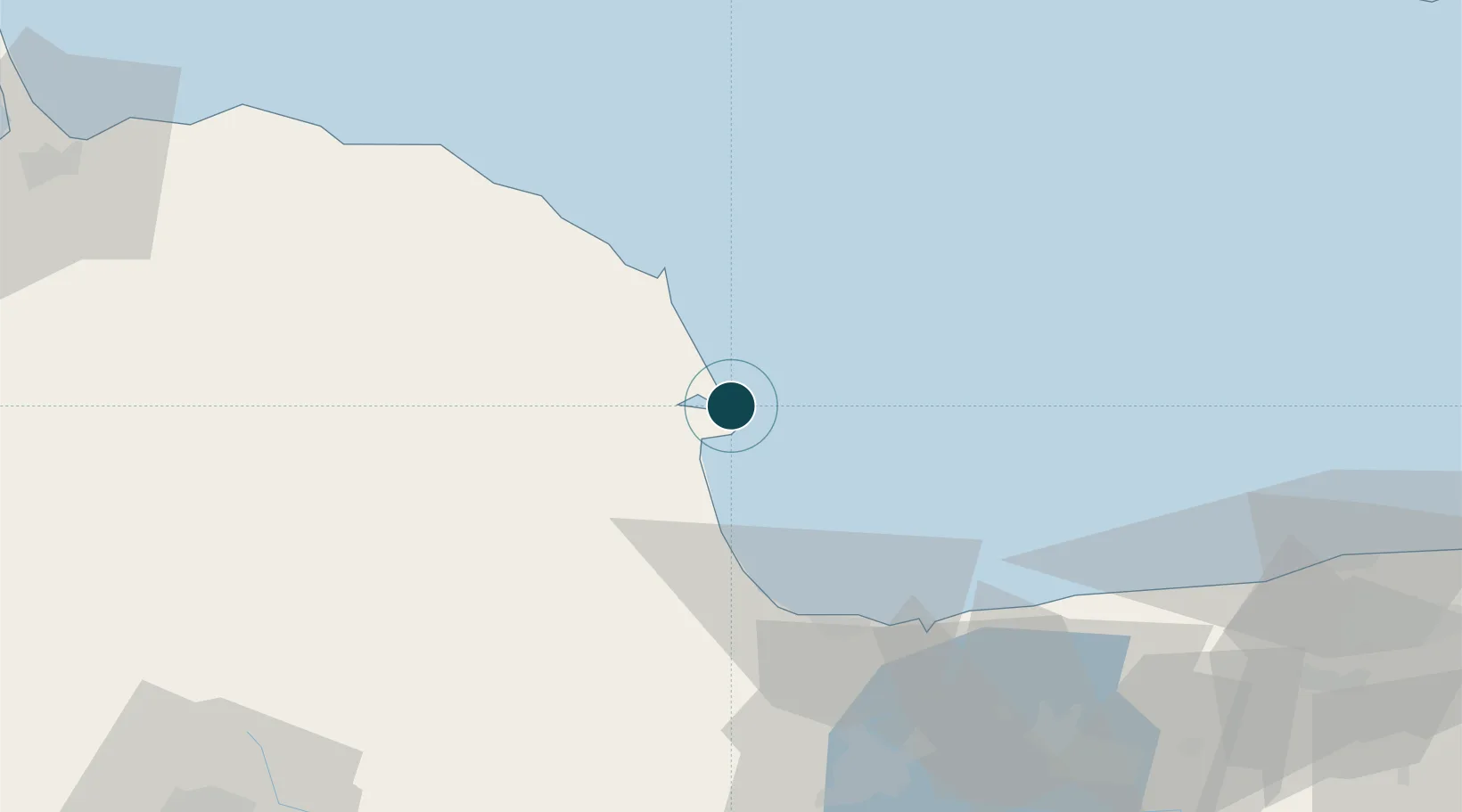
Location
Nearby Logistics Neighbours
Ports
- 1El Palito51 km
- 2Puerto Cabello56 km
- 3Puerto Borburata57 km
- 4Salina130 km
- 5Puerto Cumarebo134 km
Cities
- 1Morón49 km
- 2Puerto Cabello56 km
- 3San Diego83 km
- 4Los Guayos89 km
- 5Turen100 km
Airports
Trade Zones
DatabookThe Record of Consolidated Knowledge
Venezuela beyond logistics?