UN/LOCODE hub · Venezuela
VELTQ
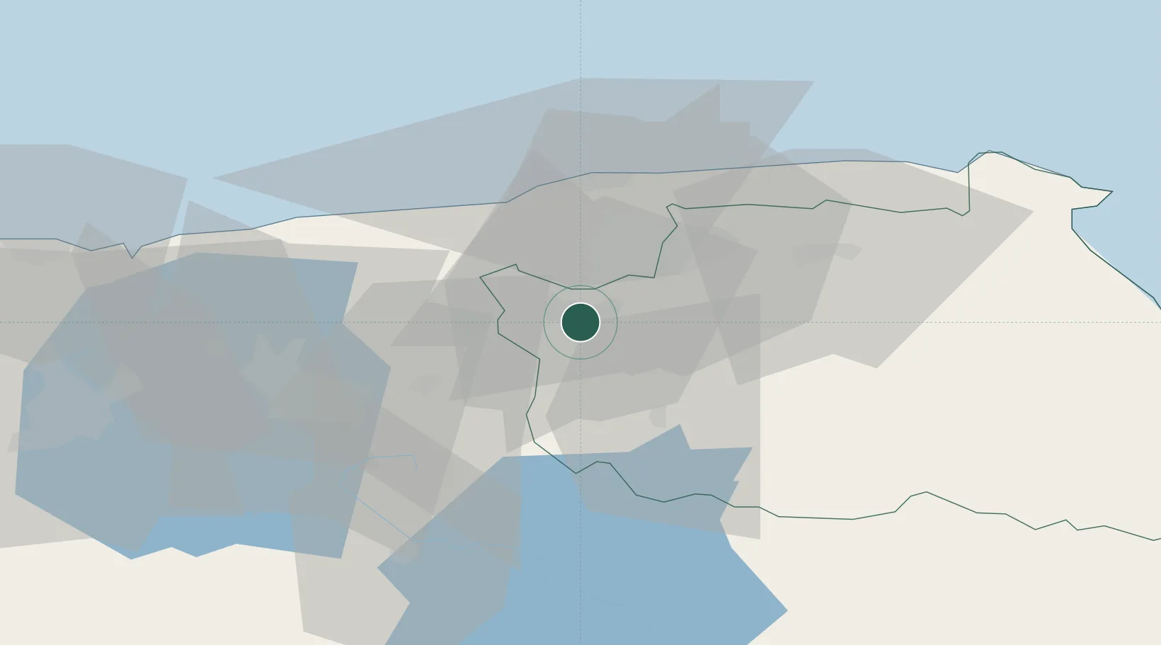
Los Teques
10.3333°, -67.0333°
252,242
Population
2
Transport functions
Transport Functions
Rail
Road
Hub Profile
Place type
Regional capital
Region
Miranda
Population
252,242
Time zone
America/Caracas
Elevation
1,190 m
Location
Nearby Logistics Neighbours
Cities
- 1Carrizal6 km
- 2Paracotos12 km
- 3El Junquito16 km
- 4Los Anaucos19 km
- 5El Consejo28 km
Ports
- 1Catia La Mar30 km
- 2La Guaira33 km
- 3Puerto Borburata105 km
- 4Puerto Cabello107 km
- 5El Palito120 km
Airports
Trade Zones
DatabookThe Record of Consolidated Knowledge
Venezuela beyond logistics?