Transport Functions
Multimodal
Hub Profile
Place type
Populated place
Region
Distrito Federal
Time zone
America/Caracas
Elevation
1,934 m
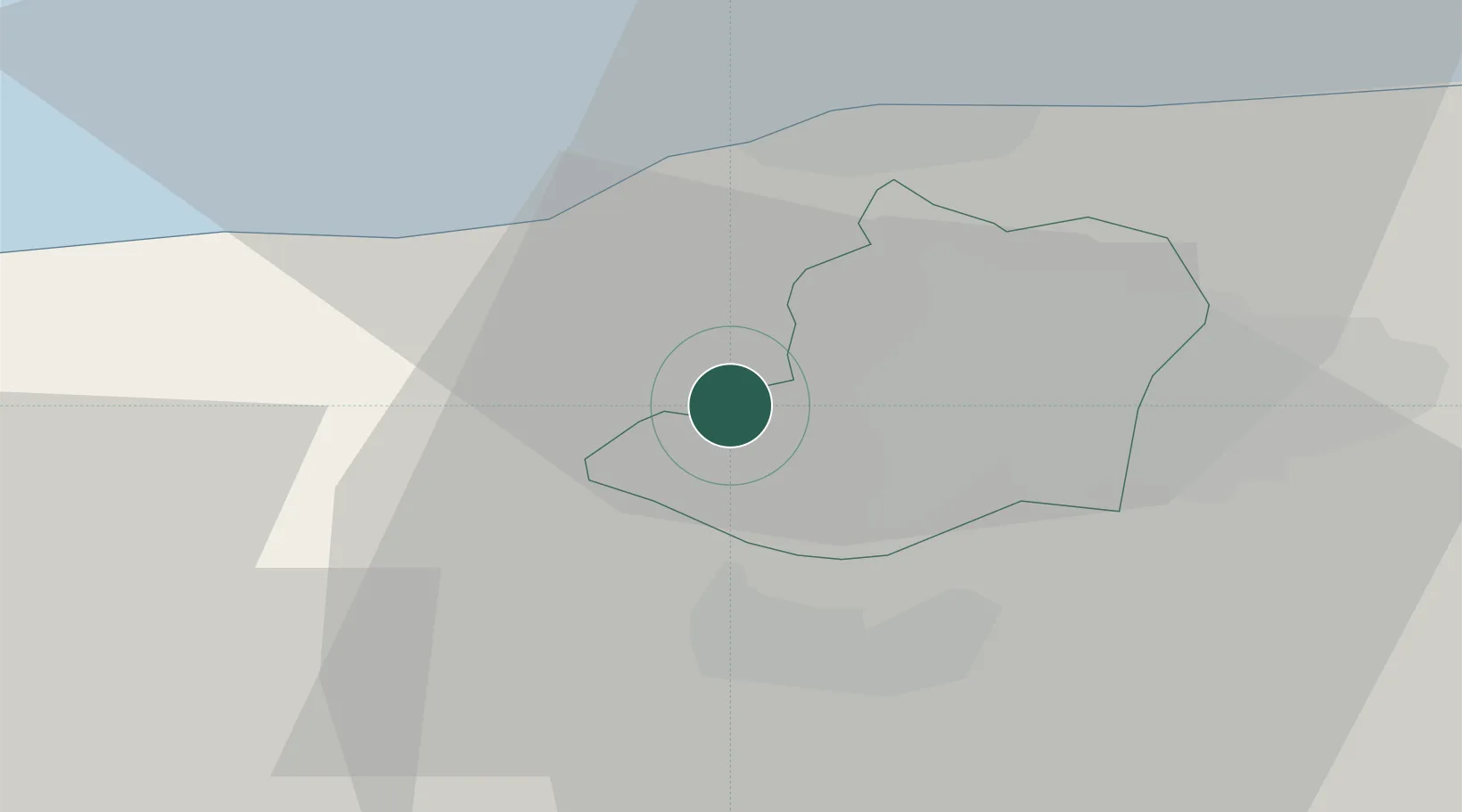
Location
Nearby Logistics Neighbours
Cities
- 1Los Teques16 km
- 2Carrizal17 km
- 3La Guaira22 km
- 4Paracotos27 km
- 5El Cafetal29 km
Ports
- 1Catia La Mar17 km
- 2La Guaira23 km
- 3Puerto Borburata98 km
- 4Puerto Cabello100 km
- 5El Palito113 km
Airports
Trade Zones
DatabookThe Record of Consolidated Knowledge
Venezuela beyond logistics?