Transport Functions
Multimodal
Hub Profile
Place type
Urban district
Region
Miranda
Population
80,029
Time zone
America/Caracas
Elevation
915 m
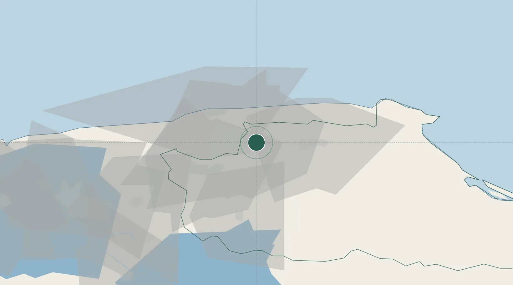
Location
Nearby Logistics Neighbours
Cities
- 1Los Anaucos19 km
- 2La Guaira20 km
- 3Guarenas22 km
- 4Carrizal22 km
- 5Fila de Mariches25 km
Ports
- 1La Guaira21 km
- 2Catia La Mar26 km
- 3Puerto Borburata128 km
- 4Puerto Cabello129 km
- 5El Palito142 km
Airports
DatabookThe Record of Consolidated Knowledge
Venezuela beyond logistics?