Large airport · Venezuela

Maiquetía Simón Bolívar International AirportSVMI
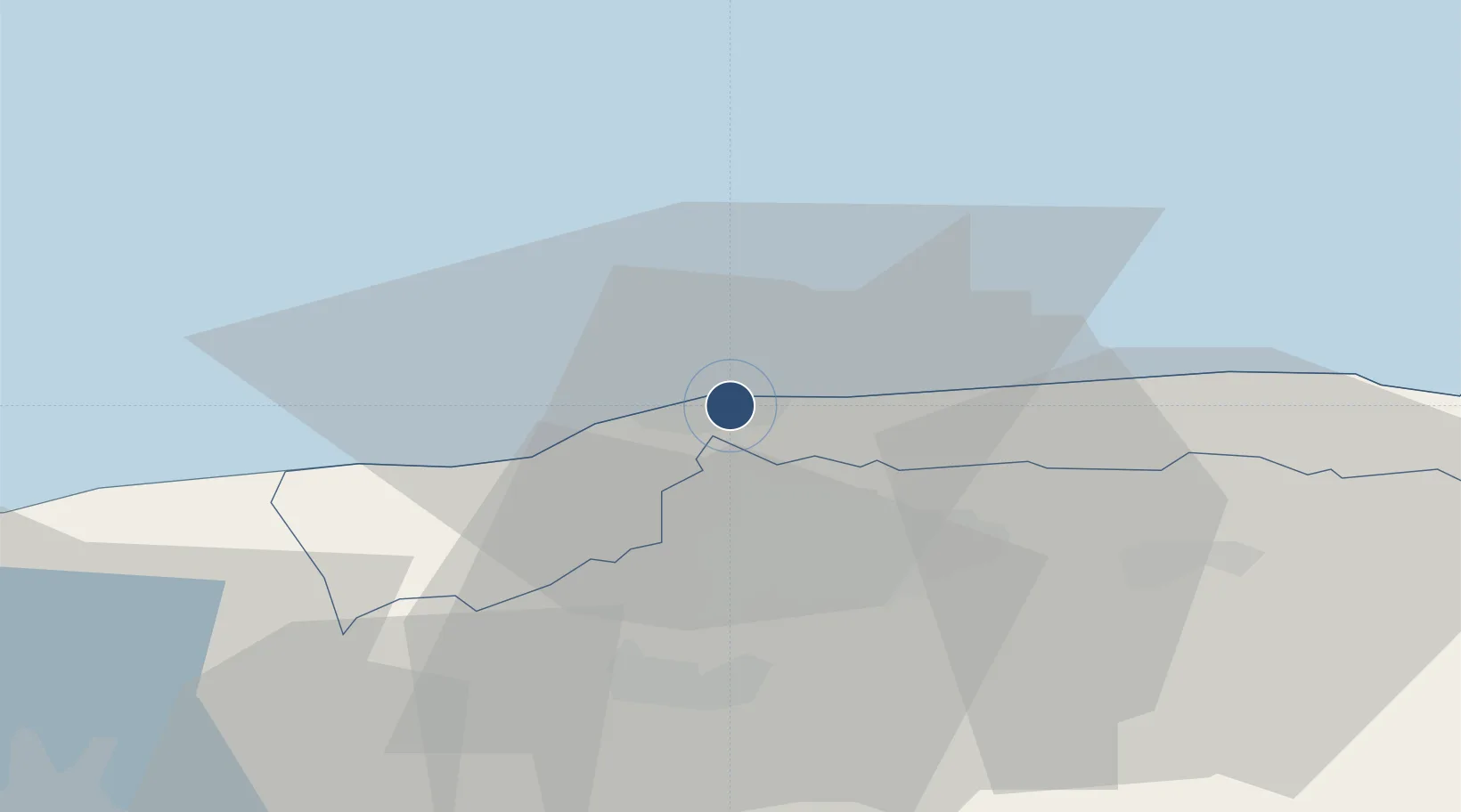
10.6022°, -66.9912°
11,483 ft
Longest runway
2
Runways
234 ft
Elevation

Runway & Layout

Maiquetía Simón Bolívar International Airport runway & taxiway layout
Runway & taxiway layout — OpenStreetMap (ODbL) / OurAirports

Radio Frequencies

ATIS
132.95 MHz
TWR
118.4 MHz
MAIQUETIA TWR
GND
121.9 MHz
CLD
119.5 MHz
APP
120.1 MHz
MAIQUETIA APP
DEP
120.1 MHz
MAIQUETIA DEP
RDO
130.1 MHz
MAIQUETIA RDO
OurAirports

Navaids

MIQ VOR-DME Maiquetia 114.80 MHz
MIQ NDB Maiquetia 292 kHz
OurAirports

Runways · 2

RunwayDimensions SurfaceTrue headingLit
10/28 11,483 × 148ft Asphalt 088°
09/27 9,930 × 148ft Asphalt 076°
OurAirports

Airport Specifications

IATA code
CCS
OurAirports
ICAO code
SVMI
OurAirports
Airport class
Large airport
OurAirports
Scheduled service
Yes
OurAirports
Runway surface
Asphalt
OurAirports
Served city
Maiquetía
OurAirports

Location

Location of SVMI
Natural Earth 10m (public domain) · Vargas · SVMI · 10.60, -66.99GoogleOSMYandex

Nearby Logistics Neighbours

Airports
  1. 1Generalissimo Francisco de Miranda Air Base21 km
  2. 2Caracas Óscar Machado Zuloaga International Airport40 km
  3. 3Metropolitano International Airport57 km
  4. 4El Libertador Airbase78 km
  5. 5Escuela Mariscal Sucre Airport82 km
Nearest neighbours — logibook spatial index (haversine) over the source coordinates
Cities
  1. 1La Guaira6 km
  2. 2El Junquito18 km
  3. 3El Cafetal24 km
  4. 4Carrizal28 km
  5. 5Los Teques30 km
Nearest neighbours — logibook spatial index (haversine) over the source coordinates
Ports
  1. 1Catia La Mar3 km
  2. 2La Guaira7 km
  3. 3Puerto Borburata109 km
  4. 4Puerto Cabello111 km
  5. 5El Palito124 km
Nearest neighbours — logibook spatial index (haversine) over the source coordinates
Trade Zones
  1. 1Guarenas-Guatire Special Economic Zone46 km
  2. 2Morón Puerto Cabello Special Economic Zone135 km
  3. 3Harbor Free Zone Curaçao269 km
  4. 4Industrial Park Brievengat269 km
  5. 5Curaçao Airport Free Economic Zone278 km
Nearest neighbours — logibook spatial index (haversine) over the source coordinates
DatabookThe Record of Consolidated Knowledge
Venezuela beyond logistics?
Browse databook

All Sources

AirportsOurAirports
Public domain
Portsthe NGA World Port Index
Public domain (US gov)
LocationsUN/LOCODE
UN/LOCODE — free
Trade Zonesthe World Bank SEZ database
CC BY 4.0
Trade ZonesOpen Zone Map
CC BY
InfrastructureOpenStreetMap
ODbL 1.0
← Venezuela airports