Transport Functions
Multimodal
Hub Profile
Place type
Provincial seat
Region
Miranda
Population
40,618
Time zone
America/Caracas
Elevation
1,341 m
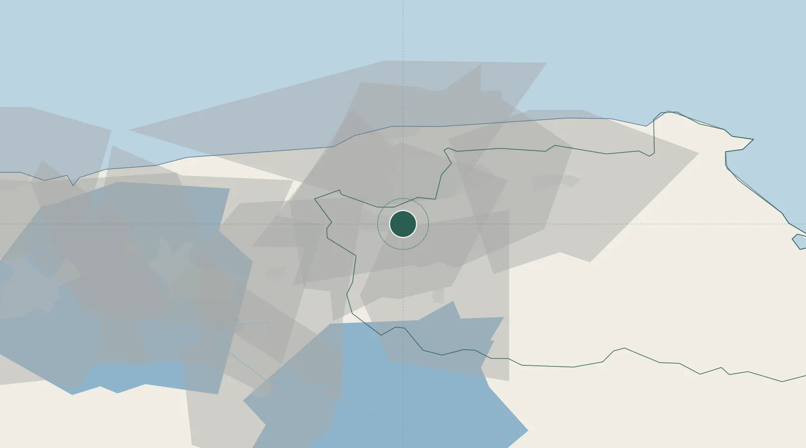
Location
Nearby Logistics Neighbours
Cities
- 1Los Teques6 km
- 2Paracotos10 km
- 3Los Anaucos14 km
- 4El Junquito17 km
- 5El Cafetal22 km
Ports
- 1Catia La Mar28 km
- 2La Guaira30 km
- 3Puerto Borburata110 km
- 4Puerto Cabello112 km
- 5El Palito125 km
Airports
Trade Zones
DatabookThe Record of Consolidated Knowledge
Venezuela beyond logistics?