Transport Functions
Multimodal
Hub Profile
Place type
Populated place
Region
Miranda
Time zone
America/Caracas
Elevation
619 m
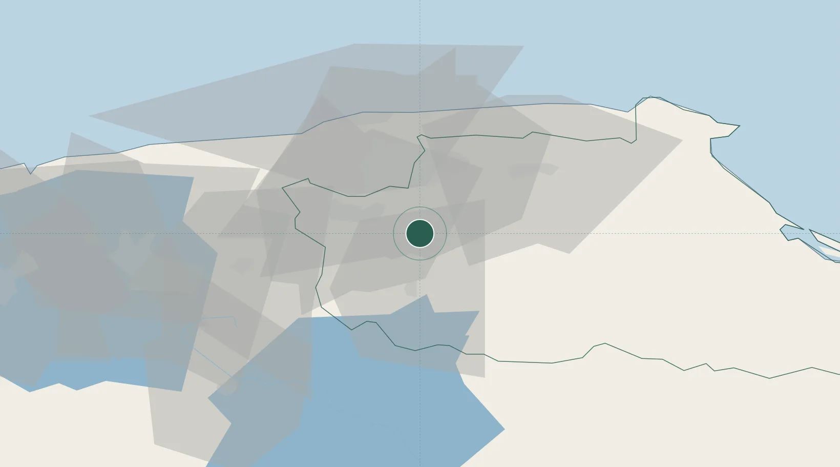
Location
Nearby Logistics Neighbours
Cities
- 1Paracotos10 km
- 2Carrizal14 km
- 3Los Teques19 km
- 4El Cafetal19 km
- 5El Junquito30 km
Ports
- 1La Guaira36 km
- 2Catia La Mar37 km
- 3Puerto Borburata124 km
- 4Puerto Cabello126 km
- 5El Palito138 km
Airports
DatabookThe Record of Consolidated Knowledge
Venezuela beyond logistics?