Medium airport · Venezuela

El Libertador AirbaseSVBL
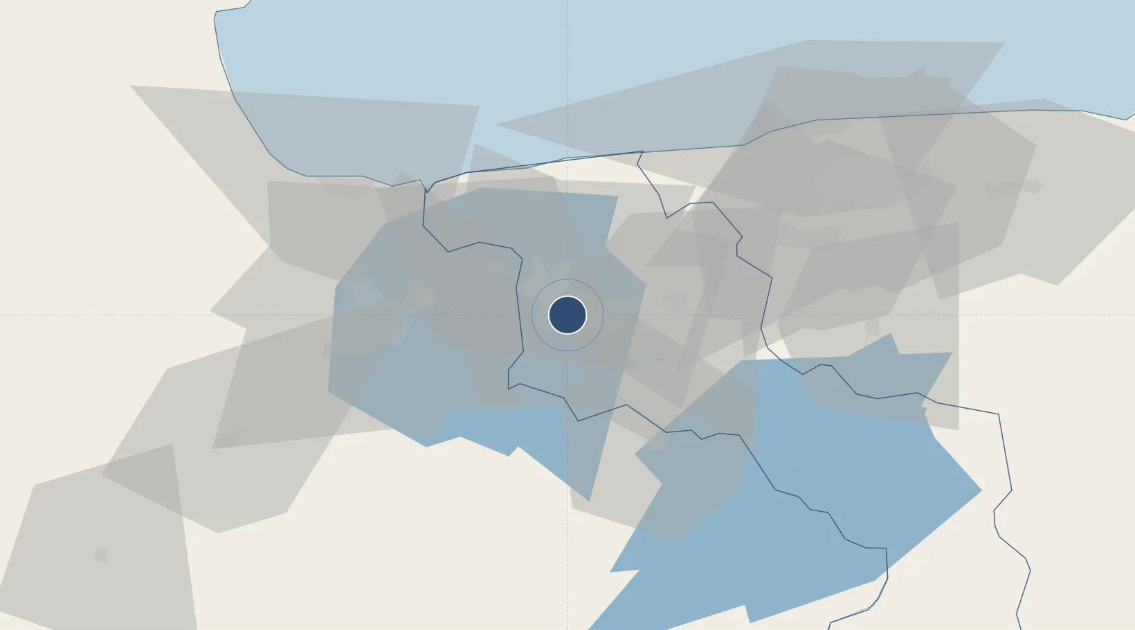
10.1834°, -67.5573°
10,400 ft
Longest runway
1
Runways
1,450 ft
Elevation

Runway & Layout

El Libertador Airbase runway & taxiway layout
Runway & taxiway layout — OpenStreetMap (ODbL) / OurAirports

Radio Frequencies

TWR
122.5 MHz
GND
121.9 MHz
APP
119.3 MHz
MISC
134.1 MHz
FAWS
RDO
568 MHz
OurAirports

Navaids

BAL VORTAC El Libertador 113.90 MHz
OurAirports

Runways · 1

RunwayDimensions SurfaceTrue headingLit
09/27 10,400 × 157ft Concrete 082°
OurAirports

Airport Specifications

ICAO code
SVBL
OurAirports
Airport class
Medium airport
OurAirports
Scheduled service
No
OurAirports
Runway surface
Concrete
OurAirports

Location

Location of SVBL
Natural Earth 10m (public domain) · Aragua · SVBL · 10.18, -67.56GoogleOSMYandex

Nearby Logistics Neighbours

Cities
  1. 1El Consejo32 km
  2. 2Los Guayos41 km
  3. 3San Diego42 km
  4. 4Los Teques60 km
  5. 5Puerto Cabello61 km
Nearest neighbours — logibook spatial index (haversine) over the source coordinates
Ports
  1. 1Puerto Borburata57 km
  2. 2Puerto Cabello59 km
  3. 3El Palito70 km
  4. 4Catia La Mar75 km
  5. 5La Guaira84 km
Nearest neighbours — logibook spatial index (haversine) over the source coordinates
Trade Zones
  1. 1Morón Puerto Cabello Special Economic Zone82 km
  2. 2Guarenas-Guatire Special Economic Zone111 km
  3. 3Harbor Free Zone Curaçao260 km
  4. 4Industrial Park Brievengat263 km
  5. 5Curaçao Airport Free Economic Zone270 km
Nearest neighbours — logibook spatial index (haversine) over the source coordinates
DatabookThe Record of Consolidated Knowledge
Venezuela beyond logistics?
Browse databook

All Sources

AirportsOurAirports
Public domain
Portsthe NGA World Port Index
Public domain (US gov)
LocationsUN/LOCODE
UN/LOCODE — free
Trade Zonesthe World Bank SEZ database
CC BY 4.0
Trade ZonesOpen Zone Map
CC BY
InfrastructureOpenStreetMap
ODbL 1.0
← Venezuela airports