UN/LOCODE hub · Venezuela
VELAG
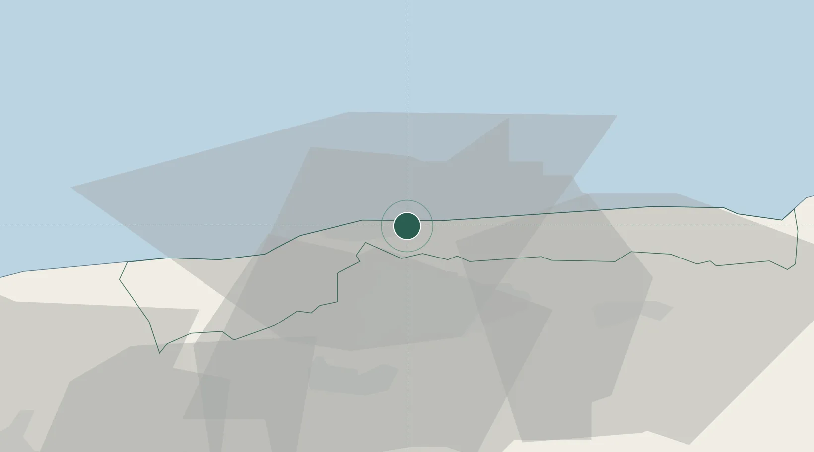
La Guaira
10.6014°, -66.9399°
25,259
Population
2
Transport functions
1
Container terminals
Transport Functions
Port
Airport
Hub Profile
Place type
Regional capital
Region
Vargas
Population
25,259
Time zone
America/Caracas
Elevation
15 m
Logistics facilities
4
Container terminals
1
Location
Nearby Logistics Neighbours
Cities
- 1El Cafetal20 km
- 2El Junquito22 km
- 3Carrizal28 km
- 4Los Teques32 km
- 5Los Anaucos35 km
Ports
- 1Catia La Mar8 km
- 2Puerto Borburata115 km
- 3Puerto Cabello117 km
- 4El Palito129 km
- 5Puerto Chichiriviche149 km
Airports
Trade Zones
DatabookThe Record of Consolidated Knowledge
Venezuela beyond logistics?