Medium airport · Venezuela

Caracas Óscar Machado Zuloaga International AirportSVCS
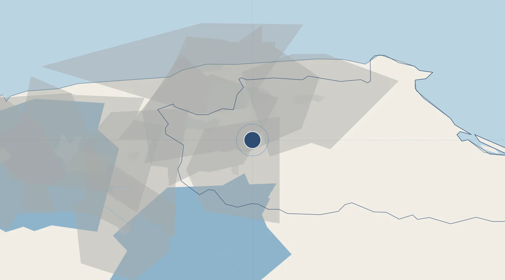
10.2869°, -66.8158°
6,562 ft
Longest runway
1
Runways
2,145 ft
Elevation

Runway & Layout

Caracas Óscar Machado Zuloaga International Airport runway & taxiway layout
Runway & taxiway layout — OpenStreetMap (ODbL) / OurAirports

Radio Frequencies

TWR
118 MHz
CARACAS TWR
TWR
122.1 MHz
CARACAS TWR
GND
121.7 MHz
APP
119.2 MHz
TUY APPROACH
RDO
132 MHz
CARACAS RDO
OurAirports

Navaids

TUY VOR-DME Charallave 115.20 MHz
OurAirports

Runways · 1

RunwayDimensions SurfaceTrue headingLit
10/28 6,562 × 98ft Asphalt 094°
OurAirports

Airport Specifications

ICAO code
SVCS
OurAirports
Airport class
Medium airport
OurAirports
Scheduled service
No
OurAirports
Runway surface
Asphalt
OurAirports
Served city
Charallave
OurAirports

Location

Location of SVCS
Natural Earth 10m (public domain) · Miranda · SVCS · 10.29, -66.82GoogleOSMYandex

Nearby Logistics Neighbours

Airports
  1. 1Metropolitano International Airport17 km
  2. 2Generalissimo Francisco de Miranda Air Base22 km
  3. 3Maiquetía Simón Bolívar International Airport40 km
  4. 4San Juan de Los Morros Airport75 km
  5. 5El Libertador Airbase82 km
Nearest neighbours — logibook spatial index (haversine) over the source coordinates
Cities
  1. 1Los Anaucos6 km
  2. 2Paracotos15 km
  3. 3Carrizal20 km
  4. 4El Cafetal20 km
  5. 5Los Teques24 km
Nearest neighbours — logibook spatial index (haversine) over the source coordinates
Ports
  1. 1La Guaira39 km
  2. 2Catia La Mar41 km
  3. 3Puerto Borburata130 km
  4. 4Puerto Cabello131 km
  5. 5El Palito144 km
Nearest neighbours — logibook spatial index (haversine) over the source coordinates
Trade Zones
  1. 1Guarenas-Guatire Special Economic Zone32 km
  2. 2Morón Puerto Cabello Special Economic Zone156 km
  3. 3Zona Franca Industrial, Comercial y de Servicios de Cumaná287 km
  4. 4Harbor Free Zone Curaçao306 km
  5. 5Industrial Park Brievengat307 km
Nearest neighbours — logibook spatial index (haversine) over the source coordinates
DatabookThe Record of Consolidated Knowledge
Venezuela beyond logistics?
Browse databook

All Sources

AirportsOurAirports
Public domain
Portsthe NGA World Port Index
Public domain (US gov)
LocationsUN/LOCODE
UN/LOCODE — free
Trade Zonesthe World Bank SEZ database
CC BY 4.0
Trade ZonesOpen Zone Map
CC BY
InfrastructureOpenStreetMap
ODbL 1.0
← Venezuela airports