Medium airport · Venezuela

Generalissimo Francisco de Miranda Air BaseSVFM
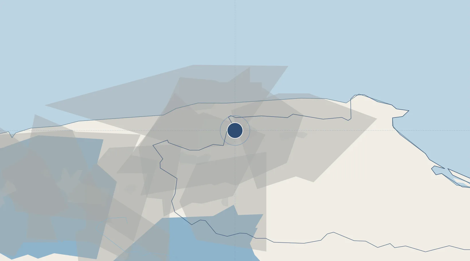
10.4850°, -66.8435°
6,475 ft
Longest runway
1
Runways
2,739 ft
Elevation

Runway & Layout

Generalissimo Francisco de Miranda Air Base runway & taxiway layout
Runway & taxiway layout — OpenStreetMap (ODbL) / OurAirports

Radio Frequencies

ATIS
127.4 MHz
TWR
118.8 MHz
MIRANDA TWR
GND
121.8 MHz
RDO
569.55 MHz
MIRANDA RDO
OurAirports

Runways · 1

RunwayDimensions SurfaceTrue headingLit
11/29 6,475 × 140ft Asphalt 102°
OurAirports

Airport Specifications

ICAO code
SVFM
OurAirports
Airport class
Medium airport
OurAirports
Scheduled service
No
OurAirports
Runway surface
Asphalt
OurAirports
Served city
Caracas
OurAirports

Location

Location of SVFM
Natural Earth 10m (public domain) · Miranda · SVFM · 10.49, -66.84GoogleOSMYandex

Nearby Logistics Neighbours

Cities
  1. 1El Cafetal4 km
  2. 2La Guaira17 km
  3. 3Los Anaucos21 km
  4. 4Carrizal21 km
  5. 5Guarenas25 km
Nearest neighbours — logibook spatial index (haversine) over the source coordinates
Ports
  1. 1La Guaira18 km
  2. 2Catia La Mar23 km
  3. 3Puerto Borburata125 km
  4. 4Puerto Cabello126 km
  5. 5El Palito139 km
Nearest neighbours — logibook spatial index (haversine) over the source coordinates
Trade Zones
  1. 1Guarenas-Guatire Special Economic Zone28 km
  2. 2Morón Puerto Cabello Special Economic Zone151 km
  3. 3Zona Franca Industrial, Comercial y de Servicios de Cumaná290 km
  4. 4Harbor Free Zone Curaçao290 km
  5. 5Industrial Park Brievengat290 km
Nearest neighbours — logibook spatial index (haversine) over the source coordinates
DatabookThe Record of Consolidated Knowledge
Venezuela beyond logistics?
Browse databook

All Sources

AirportsOurAirports
Public domain
Portsthe NGA World Port Index
Public domain (US gov)
LocationsUN/LOCODE
UN/LOCODE — free
Trade Zonesthe World Bank SEZ database
CC BY 4.0
Trade ZonesOpen Zone Map
CC BY
InfrastructureOpenStreetMap
ODbL 1.0
← Venezuela airports