Transport Functions
Port
Road
Multimodal
Hub Profile
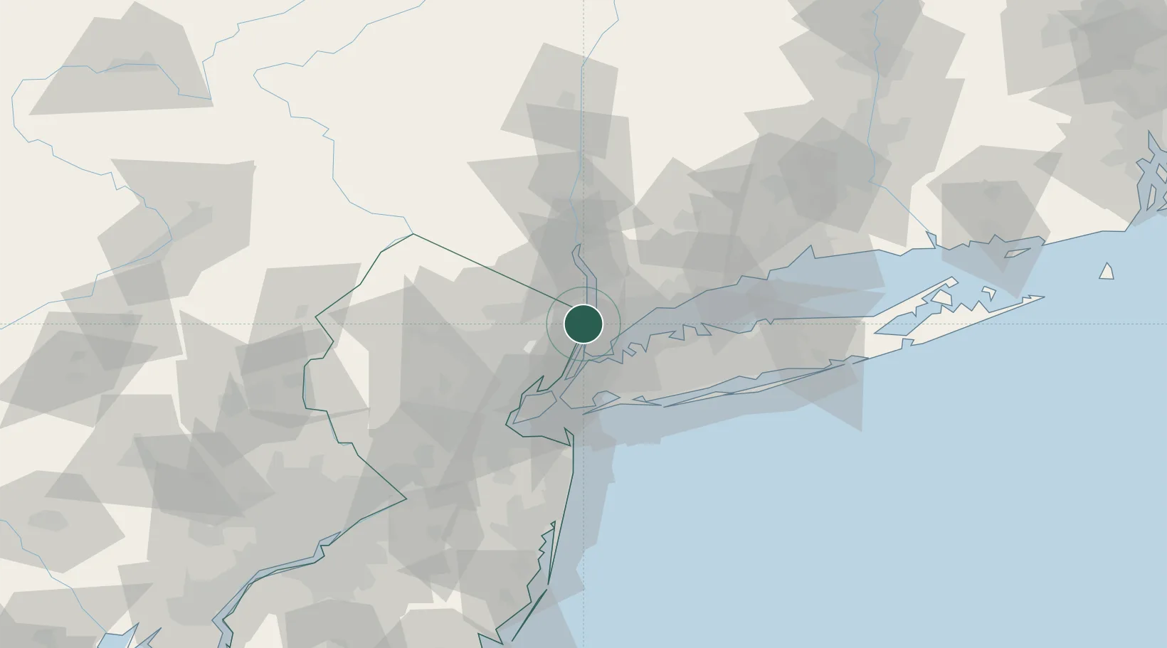
Place type
Populated place
Region
New Jersey
Population
1,917
Time zone
America/New_York
Elevation
122 m
Location
Nearby Logistics Neighbours
Cities
- 1Demarest3 km
- 2Tenafly5 km
- 3Dumont6 km
- 4River Edge9 km
- 5Leonia12 km
Ports
- 1Yonkers3 km
- 2Edgewater15 km
- 3City Island17 km
- 4Weehawken22 km
- 5Port Chester23 km
Airports
- 1Teterboro Airport15 km
- 2LaGuardia Airport20 km
- 3West 30th Street Heliport23 km
- 4Westchester County Airport23 km
- 5East 34th Street Heliport23 km
Trade Zones
DatabookThe Record of Consolidated Knowledge
United States beyond logistics?