UN/LOCODE hub · United States
USZRY

Rye

40.9667°, -73.6833°
16,046
Population
4
Transport functions

Transport Functions

Port
Rail
Road
Multimodal
UN/LOCODE

Hub Profile

Place type
Populated place
GeoNames
Region
New York
GeoNames
Population
16,046
GeoNames
Time zone
America/New_York
GeoNames
Elevation
8 m
GeoNames

Location

Location of USZRY
Natural Earth 10m (public domain) · New York · USZRY · 40.97, -73.68GoogleOSMYandex

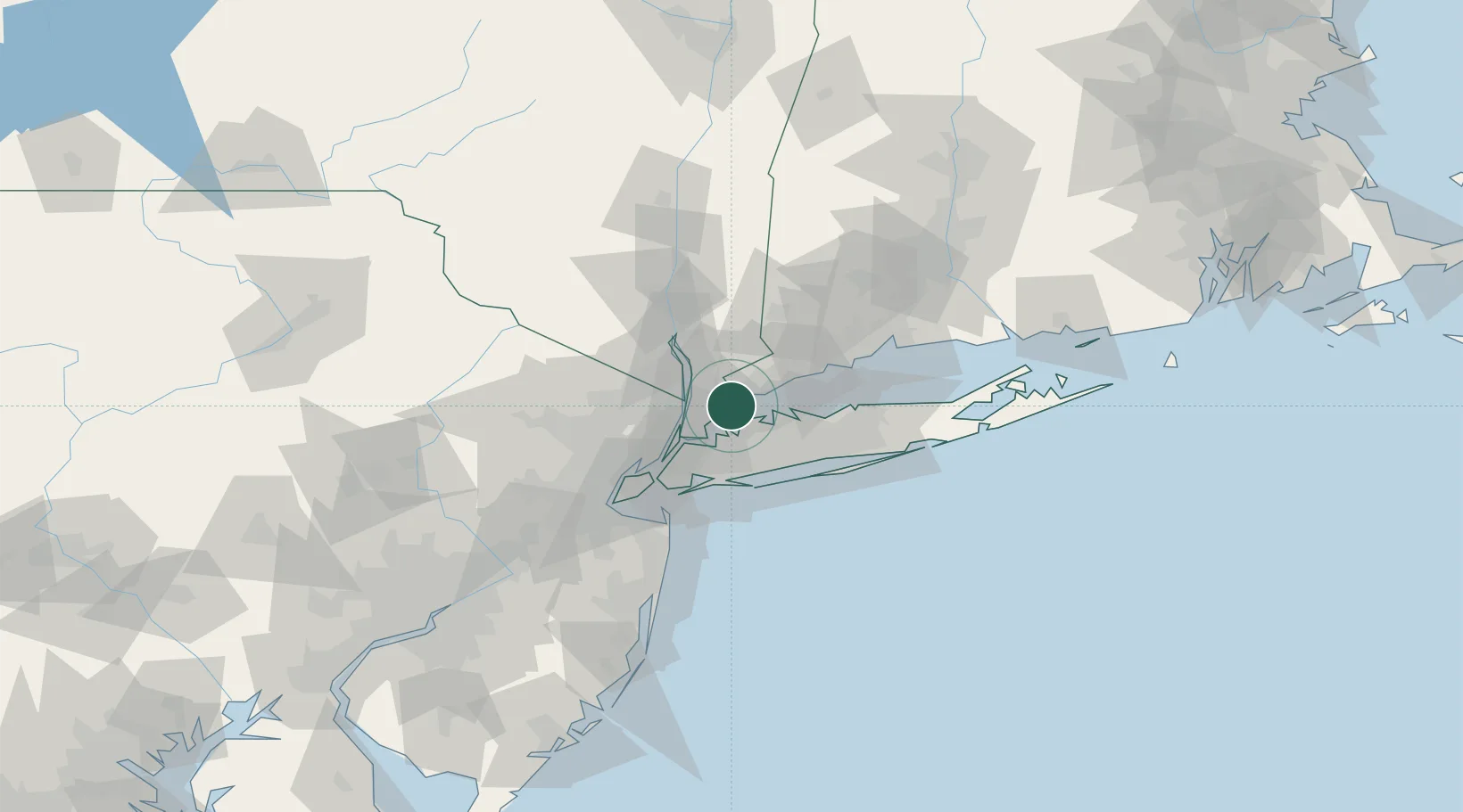
Nearby Logistics Neighbours

Cities
  1. 1Harrison1 km
  2. 2Larchmont8 km
  3. 3West Harrison9 km
  4. 4North White Plains12 km
  5. 5Locust Valley12 km
Nearest neighbours — logibook spatial index (haversine) over the source coordinates
Ports
  1. 1Port Chester4 km
  2. 2Greenwich8 km
  3. 3Stamford13 km
  4. 4City Island16 km
  5. 5Yonkers19 km
Nearest neighbours — logibook spatial index (haversine) over the source coordinates
Airports
  1. 1Westchester County Airport11 km
  2. 2LaGuardia Airport26 km
  3. 3Teterboro Airport34 km
  4. 4East 34th Street Heliport35 km
  5. 5Republic Airport35 km
Nearest neighbours — logibook spatial index (haversine) over the source coordinates
Trade Zones
  1. 1FTZ No. 001 New York City40 km
  2. 2FTZ No. 052 Suffolk County41 km
  3. 3FTZ No. 076 Bridgeport47 km
  4. 4FTZ No. 049 Newark Elizabeth52 km
  5. 5FTZ No. 162 New Haven74 km
Nearest neighbours — logibook spatial index (haversine) over the source coordinates
DatabookThe Record of Consolidated Knowledge
United States beyond logistics?
Browse databook

All Sources

LocationsUN/LOCODE
UN/LOCODE — free
LocationsGeoNames
CC BY 4.0
Portsthe NGA World Port Index
Public domain (US gov)
AirportsOurAirports
Public domain
Trade Zonesthe World Bank SEZ database
CC BY 4.0
Trade ZonesOpen Zone Map
CC BY
← United States locations