UN/LOCODE hub · United States
USZHS
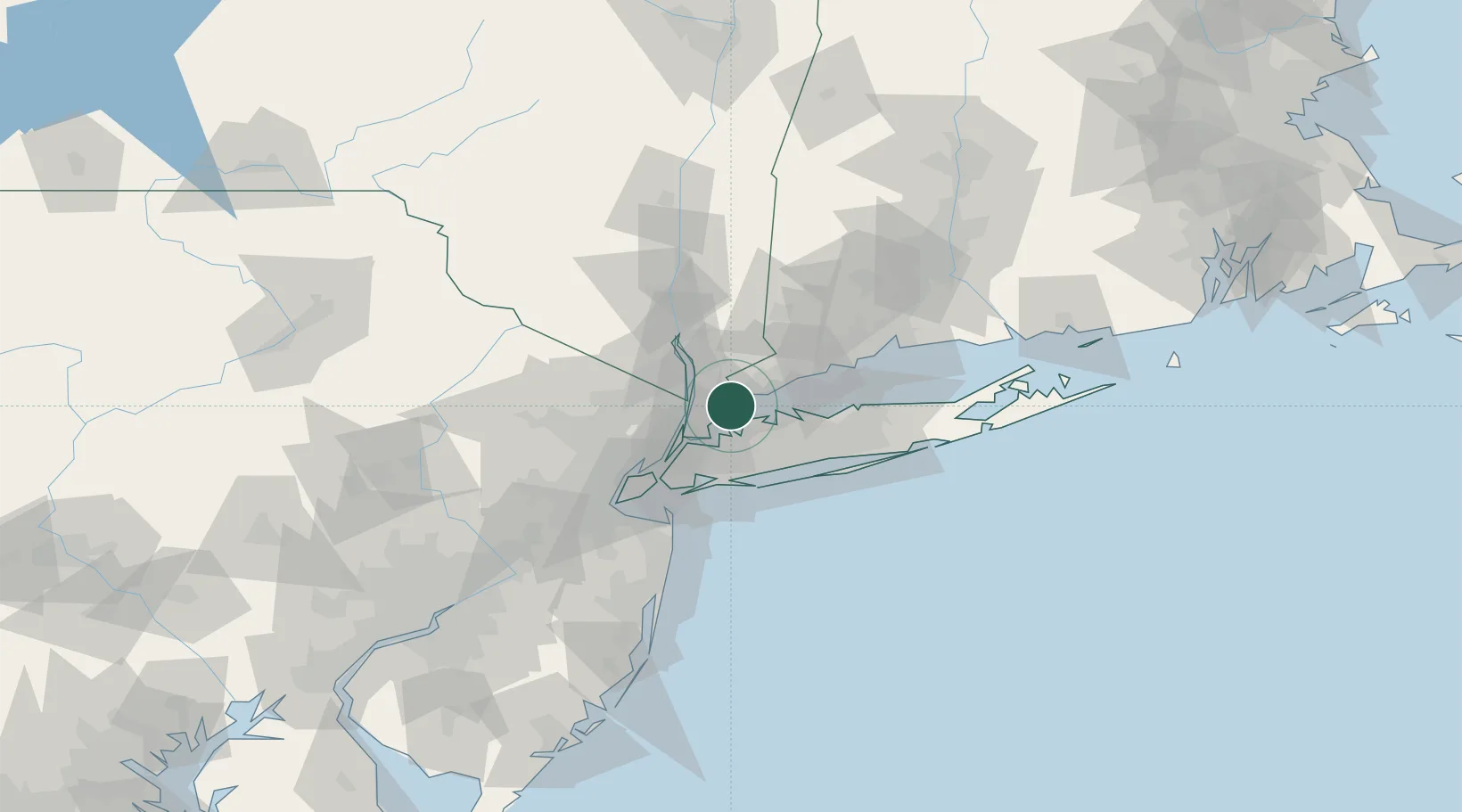
Harrison
40.9667°, -73.7000°
28,348
Population
3
Transport functions
Transport Functions
Rail
Road
Multimodal
Hub Profile
Place type
Populated place
Region
New York
Population
28,348
Time zone
America/New_York
Elevation
21 m
Location
Nearby Logistics Neighbours
Cities
- 1Rye1 km
- 2Larchmont7 km
- 3West Harrison9 km
- 4North White Plains11 km
- 5Valhalla12 km
Ports
- 1Port Chester5 km
- 2Greenwich9 km
- 3Stamford15 km
- 4City Island15 km
- 5Yonkers17 km
Airports
- 1Westchester County Airport11 km
- 2LaGuardia Airport26 km
- 3Teterboro Airport33 km
- 4East 34th Street Heliport34 km
- 5New York Skyports Inc Seaplane Base35 km
Trade Zones
DatabookThe Record of Consolidated Knowledge
United States beyond logistics?