UN/LOCODE hub · United States
USTOL
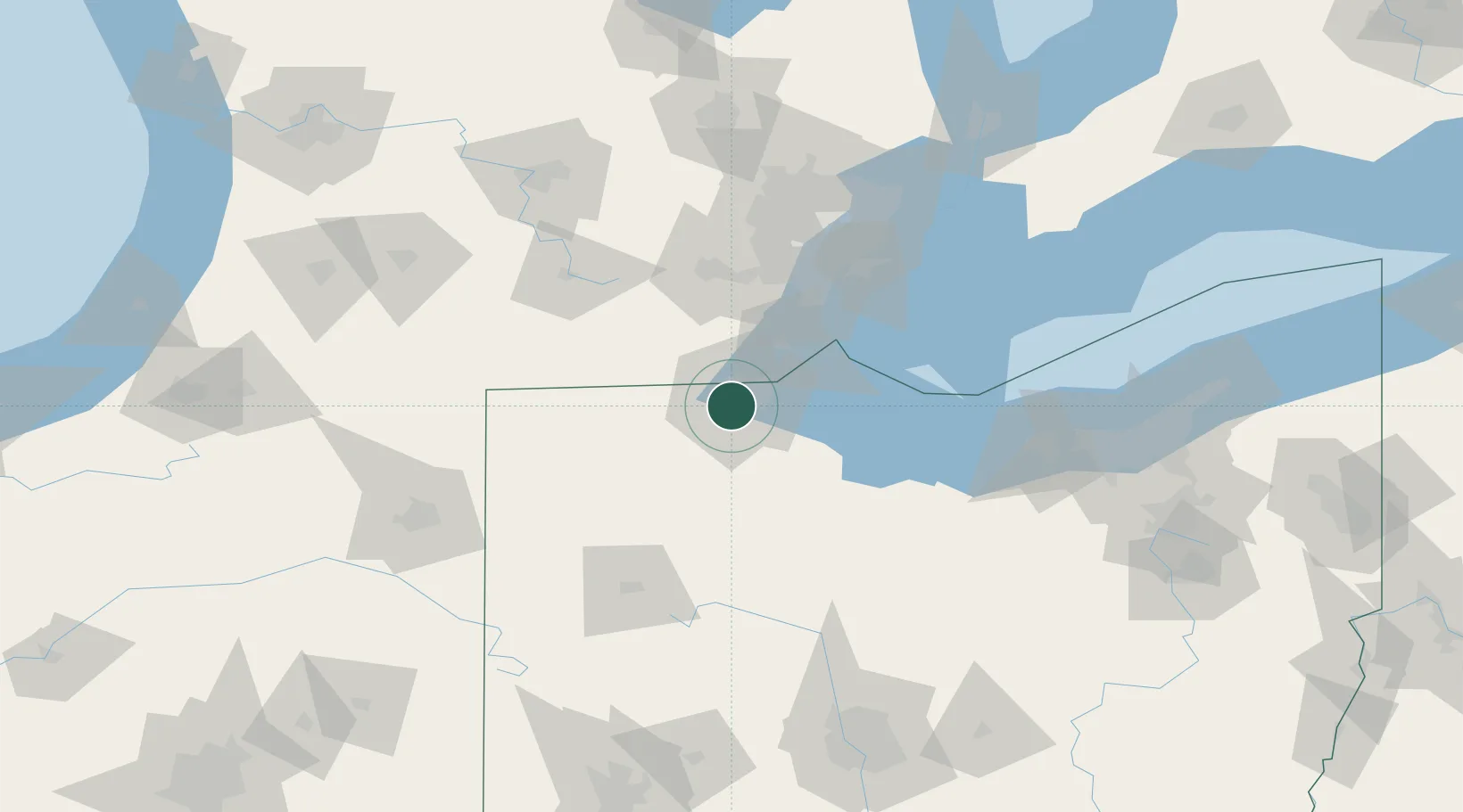
Toledo
41.6193°, -83.6320°
265,638
Population
2
Transport functions
Transport Functions
Port
Airport
Hub Profile
Place type
Provincial seat
Region
Ohio
Population
265,638
Time zone
America/New_York
Elevation
186 m
Logistics facilities
2
Location
Nearby Logistics Neighbours
Cities
- 1Sylvania12 km
- 2Oregon13 km
- 3Walbridge13 km
- 4Northwood, Wood14 km
- 5Lambertville15 km
Ports
- 1Monroe38 km
- 2Port Clinton59 km
- 3Put In Bay68 km
- 4Trenton69 km
- 5Amherstburg69 km
Airports
Trade Zones
- 1FTZ No. 008 Toledo9 km
- 2FTZ No. 151 Findlay65 km
- 3FTZ No. 070 Detroit88 km
- 4Windsor - Essex Foreign Trade Zone92 km
- 5FTZ No. 040 Cleveland149 km
DatabookThe Record of Consolidated Knowledge
United States beyond logistics?