UN/LOCODE hub · United States
USYOC
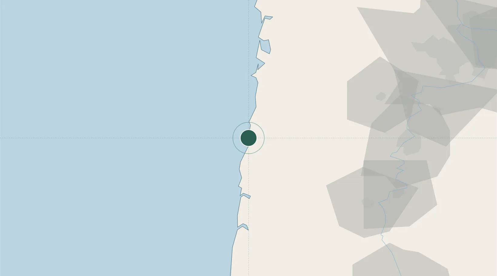
Lincoln City
44.9667°, -124.0167°
8,536
Population
1
Transport functions
Transport Functions
Port
Hub Profile
Place type
Populated place
Region
Oregon
Population
8,536
Time zone
America/Los_Angeles
Elevation
24 m
Location
Nearby Logistics Neighbours
Airports
Trade Zones
- 1FTZ No. 255 Washington County81 km
- 2FTZ No. 045 Portland115 km
- 3FTZ No. 296 Vancouver128 km
- 4FTZ No. 120 Cowlitz County150 km
- 5FTZ No. 132 Coos County179 km
DatabookThe Record of Consolidated Knowledge
United States beyond logistics?